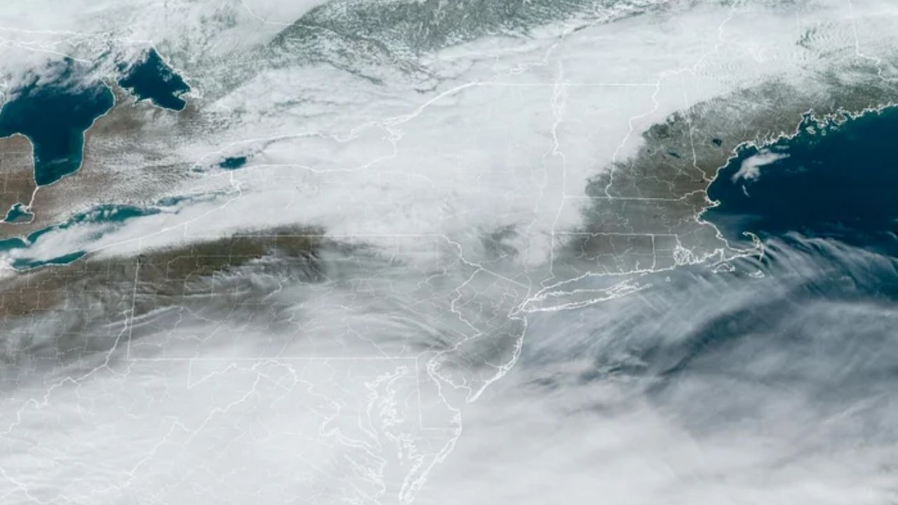
A few days after colder air returns to much of the eastern United States, weather systems may align to deliver one or two chances of snow from the mid-Atlantic and New England coasts westward to the Appalachians. However, there are significant cautions. According to AccuWeather Senior Vice President of Forecast Operations Jon Porter, there is a chance of snow accumulation in areas of the Northeast next week, depending on the trajectory of two coastal storms.
“There is potential for accumulating snow in parts of the Northeast next week, depending on the track of two coastal storms,” said AccuWeather Senior Vice President of Forecast Operations Jon Porter.
As the jet stream sweeps into the eastern United States on Thursday, its position will influence where a coastal storm originates and how it progresses from Thursday night to Friday.
A storm that moves further east will most likely go out to sea, bringing only a few flurries to sections of the mid-Atlantic and coastal New England. In another scenario, a storm that tracks closer to the coast may bring snow to much of the mid-Atlantic and southeastern New England late this week.
The intensity and movement of this storm may influence the path of a subsequent storm a few days later.
“If the storm on Friday is strong and hugs the coast with snow, it would likely push the next storm out to sea later in the weekend,” said AccuWeather Lead Long-Range Meteorologist Paul Pastelok. “However, if the first storm is weak and moves out to sea, the second storm could become stronger and track much farther north.”
Despite the two chances, major cities along the Northeast’s Interstate 95 corridor may miss out on snow from both storms.
Several factors will influence whether the first storm produces significant snowfall, including the quantity of moisture available and how it interacts with another weather system to the west. The second storm may similarly struggle to create snow if there is insufficient cold air, particularly along the coast. If the storm’s center tracks near I-95 rather than well offshore, it will bring rain to the coast and a wintry mix deeper inland.
More information on both storms will be released in the coming days, but snow enthusiasts and skiers who were disappointed by the recent thaw will have something to look forward to when cold weather returns later this weekend to early next week.
Resorts will be able to manufacture new snow to replenish their bases, and lake-effect snow showers may recoat the landscape in some regions.






Leave a Reply