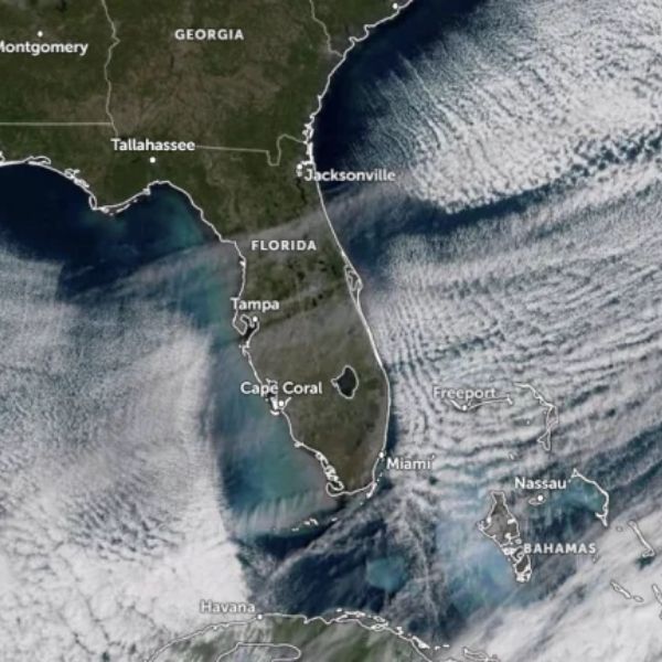
MIAMI — A surge of Arctic air swept across Florida on November 11, bringing widespread sub-freezing temperatures and pushing Miami to its coldest November 11 morning in 112 years.
Record-Breaking Cold
According to the National Weather Service (NWS) Miami, temperatures at Miami International Airport dropped to 8.9°C (48°F) just before sunrise — matching the 1913 record low for the date. The typical low for this time of year is 20.6°C (69°F), meaning this year’s reading was over 11°C (20°F) below normal.
Naples also broke its daily record, reaching 6.67°C (44°F) at the Naples Municipal Airport, surpassing the 1993 record of 8.33°C (47°F).
Elsewhere across Florida, temperatures dipped even further — down to –2°C (28°F) in northern counties and around 4°C (40°F) in central regions — a rarity for early November and among the coldest readings on record this early in the season.
What Caused the Drop
Meteorologists attribute the sharp temperature plunge to a strong high-pressure ridge over the central U.S., which funneled cold, dry air deep into the Florida Peninsula. Clear skies and light overnight winds amplified radiative cooling, allowing surface temperatures to plummet after sunset.
Local Impacts
The unusual chill led to temporary cold-stunning of iguanas in South Florida, a common occurrence during cold snaps when reptiles lose mobility. However, officials reported no major agricultural damage or long-term impacts as of November 12.
Looking Ahead
Forecasters expect a gradual warm-up midweek as the high-pressure system shifts east and onshore winds return.
The coldest temperature ever recorded in Florida remains –19°C (–2°F), observed in Tallahassee on February 13, 1899.


Leave a Reply