Memphis, TN – Travelers across the Midwest and Mid-South may face major disruptions as Thanksgiving week approaches, with forecasters warning of several days of heavy precipitation from Illinois to Texas. The National Weather Service office in Memphis said the pattern will start early next week and could affect peak holiday travel throughout multiple states.
The Climate Prediction Center reported that an unsettled storm system will form on Monday and strengthen through the middle and later part of next week. Current outlooks show most of the region receiving 2 to 5 inches of total precipitation, with a lower-probability scenario allowing for as much as 7 inches along a wide corridor stretching from the Midwest to the Southern Plains.
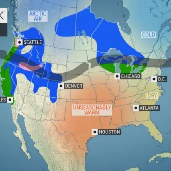
Forecasters said the precipitation type is still uncertain, adding that temperatures will determine whether parts of the Midwest or Mid-Mississippi Valley see cold rain or transition into wintry weather. If colder air pushes farther south than expected, some areas could end up with a white Thanksgiving, but confidence remains low.
The heaviest precipitation is expected between Wednesday and Friday, directly overlapping with some of the busiest travel days of the year. Impacts could affect major interstate routes such as I-55, I-57, I-40, I-44, and I-30, as well as air travel hubs from Chicago and St. Louis to Memphis, Little Rock, and Dallas.
The National Weather Service said confidence in the exact timing and precipitation type is still limited, but the risk of travel disruptions continues to rise. Officials urge travelers to watch for frequent forecast updates as conditions evolve.


Leave a Reply