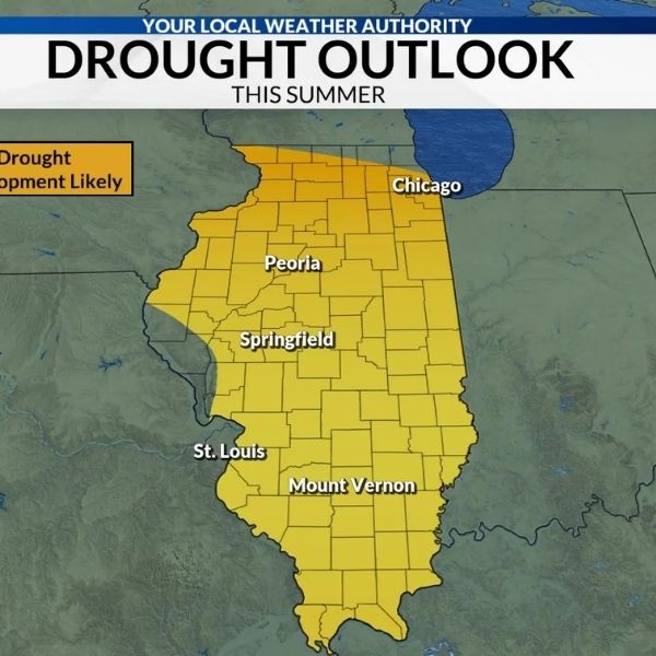
Springfield, IL – The latest U.S. Drought Monitor update released Thursday morning shows continued severe dryness across central Illinois, with extreme drought expanding slightly in east-central counties. According to the National Weather Service Central Illinois office, most drought classifications remained steady this week, but the D3 extreme drought area centered around Champaign has grown.
The updated map shows widespread D1 (Moderate Drought) and D2 (Severe Drought) conditions from Peoria to Springfield, with the most significant impacts stretching from Decatur through Champaign and nearby communities. Deep red shading on the eastern side of the map marks the area now categorized as D3, indicating extreme dryness and ongoing water and soil stress.
Meteorologists say long-term precipitation deficits have developed over several months, and recent light rainfall has not been enough to meaningfully improve conditions. Crop and soil moisture remain below seasonal averages, and streamflows in some parts of the region are still low for late November.
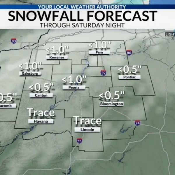
Areas just outside the extreme drought zone—including Bloomington, Lincoln, Macomb, and Galesburg—remain in D1–D2 drought categories. Abnormally dry conditions also continue near the Illinois–Indiana border and into parts of south-central Illinois.
The National Weather Service has issued a new Drought Statement for residents who want more information on local impacts and what to expect heading into winter.
This article has been carefully fact-checked by our editorial team to ensure accuracy and eliminate any misleading information. We are committed to maintaining the highest standards of integrity in our content.






Leave a Reply