Snow is becoming increasingly likely across Illinois from Friday night into Saturday, just as residents return home from the Thanksgiving holiday.
Forecast models are aligning on a storm system expected to move across Missouri and Illinois late in the week, bringing widespread precipitation. Forecasters say there is a high chance of rain and snow in the region during this period.
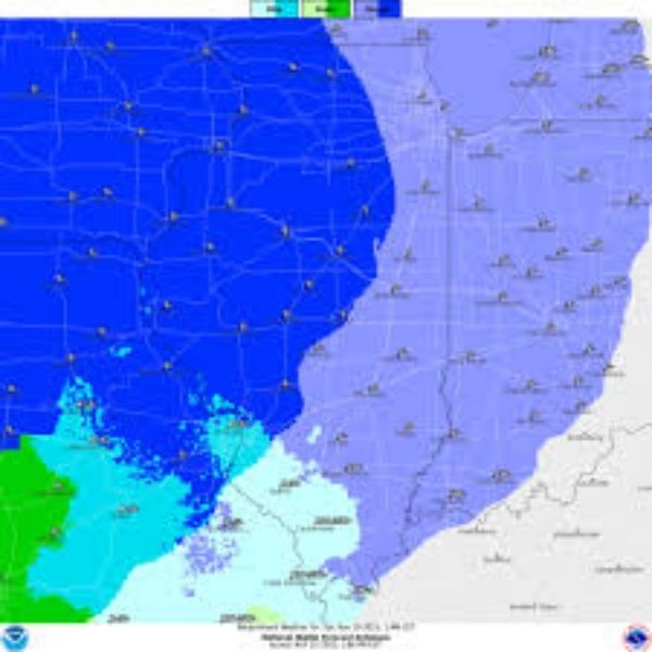
Snow chances rising
For the St. Louis area, there is currently a 50–60% chance of more than an inch of snow, with probabilities climbing farther north. There is also a 20–30% chance of more than 3 inches in St. Louis, increasing to 40–50% north of the metro.
The highest likelihood of accumulating snow at this stage is across northeast Missouri and west-central Illinois.
Uncertain storm track
The National Weather Service in St. Louis cautions that key details remain uncertain, including the storm’s exact path. Because temperatures near the surface will be marginal, the type of precipitation—rain, snow, or a mix—will depend heavily on the track.
Forecasters describe the setup as a “thread the needle” scenario, meaning snowfall will rely on temperatures cooling enough through a process called wet-bulbing.
Snow is expected to last longest the farther north you go. Probabilities for at least an inch of snow range from 30–70%, and 3-inch totals range from 20–50% depending on location.
Exact snowfall amounts remain too early to pinpoint, with clearer projections expected starting tomorrow.
Travel impacts
AccuWeather says post-Thanksgiving travel may be affected as snow and mixed precipitation move across the Midwest. By Friday night, the system is expected to reach Des Moines, Rochester, Madison, Chicago, and eventually the northern Ohio River Valley by Saturday.
Their early outlook gives Edwardsville a 93% chance of a light ice glaze but no official snow probabilities yet, though daily estimates show about 0.3 inches of snow. Jacksonville, Illinois, could see up to 0.9 inches.
The Weather Channel’s 10-day forecast is more aggressive, calling for 1–3 inches of snow Friday night and another 1–3 inches Saturday, giving the region an 80% chance of snowfall.
More precise forecasts will roll out as the storm system draws closer.
This article has been carefully fact-checked by our editorial team to ensure accuracy and eliminate any misleading information. We are committed to maintaining the highest standards of integrity in our content.


Leave a Reply