Thousands across the United States are bracing for major snowfall from Tuesday into Wednesday — and in some places through Saturday — with some regions forecast to receive as much as 25 inches. The National Weather Service (NWS) is also warning of strong winds that could gust up to 55 mph.
Why It Matters
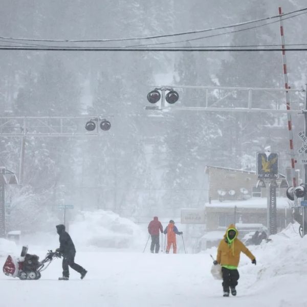
Heavy snow paired with powerful winds could create near-blizzard conditions, severely reducing visibility and making roadways extremely dangerous, especially during morning and evening commutes.
What To Know
The NWS has warned residents in parts of Minnesota— including Todd, Morrison, Kanabec, Wadena, Hubbard, Becker, and Otter Tail counties — about a “potent storm system” expected Tuesday into the night. These areas may see up to 7 inches of snow, with snowfall rates reaching 1 inch per hour at times and wind gusts up to 40 mph.
Across northeastern and north-central Minnesota—covering Carlton, St. Louis, Cook, Crow Wing, Aitkin, Cass, and Itasca counties, as well as the Tribal Lands of the Bois Forte Band near the Deer Creek area—snow totals of 4 to 11 inches are expected. The Mille Lacs Band, Big Sandy Lake, and East Lake areas have also been told that a “corridor of locally higher snowfall amounts is possible” through Wednesday.
Kandiyohi, Meeker, Renville, Chippewa, Lac Qui Parle, and Swift counties may only see up to 3 inches, but winds could still gust between 40 and 50 mph into Wednesday morning.
In northern Wisconsin, Ashland and Iron counties could see localized totals of up to 25 inches from Tuesday night through Thursday. Bayfield and Douglas counties — including the Tribal Lands of the Red Cliff Band — along with the Apostle Islands and northwest Vilas County, may get up to 18 inches with winds up to 35 mph from Tuesday night into Wednesday evening.
Parts of central and western Upper Michigan could also receive up to 25 inches, especially along the Lake Superior shoreline, with wind gusts reaching 50 mph through Thursday morning.
In North Dakota, northwest and central areas — including the James River Valley — are forecast to get 4 to 9 inches of snow and winds up to 45 mph. Southwest and south central regions may only pick up around 4 inches but could see stronger gusts near 55 mph through Tuesday night.
Southeastern Montana, particularly Carter and Fallon counties, may receive up to 2 inches of snow and winds up to 55 mph through Tuesday morning. In South Dakota, 1 to 3 inches is expected in Campbell, Corson, Edmunds, McPherson, and Walworth counties, with 45 mph wind gusts. Marshall and Roberts counties in the northeast could get up to 7 inches and winds up to 45 mph.
In Washington State, the Cascades of southern and northern King County, as well as Pierce and Lewis counties, could see up to 10 inches above 2,000 feet through early Wednesday. The upper slopes of the eastern Washington Cascades may receive up to 10 inches too, while lower slopes could get around 7 inches. Isolated freezing rain is possible.
Across northeastern Ohio — including Ashtabula Inland, Ashtabula Lakeshore, Geauga, and Lake counties — up to 8 inches of snow and 45 mph winds are forecast from Thursday through Friday evening. The NWS warns visibility could drop below ¼ mile due to intense blowing snow.
In northwestern Pennsylvania, Crawford, northern Erie, and southern Erie counties may see more than a foot of snow with winds up to 45 mph from Wednesday night into Friday.
In New York, northern Erie and Genesee counties could see up to 7 inches, with the heaviest snow south and east of Buffalo. Wind gusts up to 50 mph may cause drifting snow and whiteout conditions by Thursday afternoon. Southeastern St. Lawrence County could see 4 to 10 inches through late Friday night, with visibility occasionally falling below ¼ mile. Madison, Northern Oneida, Onondaga, and Southern Oneida counties could get 3 to 8 inches and winds up to 40 mph through Saturday morning. Hamilton County may see up to 10 inches, especially north of Route 28 and west of Route 30.
In northern Michigan — including Antrim, Charlevoix, Crawford, Kalkaska, and Otsego counties — up to 10 inches of snow is expected, along with 45 mph wind gusts through Friday morning.
What People Are Saying
The NWS strongly urges people to reconsider travel plans, stating:
“Persons should consider delaying all travel. If travel is absolutely necessary, drive with extreme caution. Consider taking a winter storm kit along with you, including such items as tire chains, booster cables, flashlight, shovel, blankets, and extra clothing. Also take water, a first aid kit, and anything else that would help you survive in case you become stranded.”
For the hardest-hit regions — especially in Ohio, New York, and northwestern Pennsylvania — the agency added:
“Whiteout conditions are possible and may make travel treacherous and potentially life-threatening. The hazardous conditions could impact holiday commuters.”
What Happens Next
Residents and travelers in the affected regions are urged to monitor updated forecasts and NWS alerts as Thanksgiving approaches, as the storm threatens to cause serious disruptions to holiday travel.
This article has been carefully fact-checked by our editorial team to ensure accuracy and eliminate any misleading information. We are committed to maintaining the highest standards of integrity in our content.


Leave a Reply