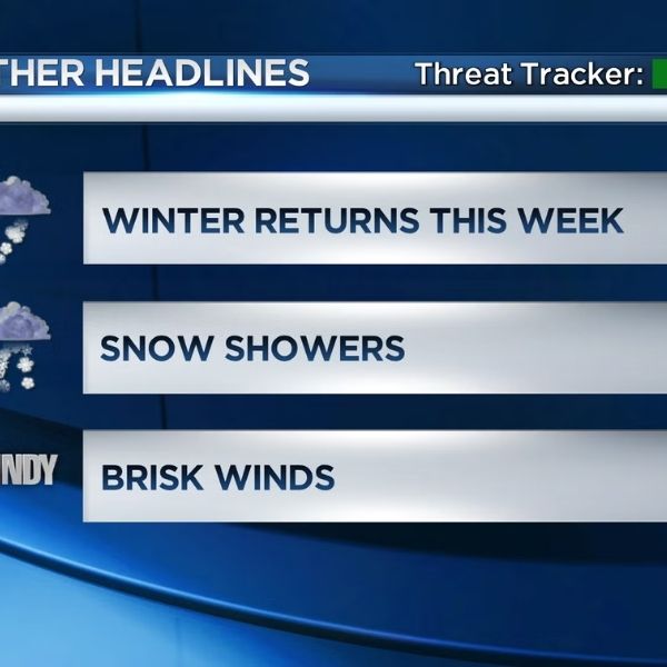
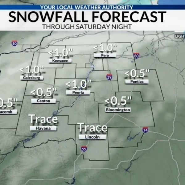
Snow has already accumulated in large parts of the Mid-Atlantic, with up to 8 inches reported in some locations and further snow showers forecast through Monday.
According to the National Weather Service Middle Atlantic River Forecast Center (MARFC), snowfall has been widespread across the region in the last 24 hours, with eastern Pennsylvania receiving the most. Snowfall reports also came in from New York, New Jersey, Maryland, Delaware, and northern Virginia.
The weather system that caused the snowfall is expected to leave the MARFC region today, but forecasters predict that lake-effect snow showers will continue through Monday, particularly in regions downwind of the Great Lakes and at higher elevations.
A 72-hour precipitation projection predicts mild further accumulation in northern and eastern sections of the Mid-Atlantic; however, levels are predicted to be significantly lower than what dropped the previous day. Travel conditions may still be affected at times, especially on untreated roads and during brief heavier snowfalls.
Despite the snowfall, MARFC officials stated that river levels are projected to fluctuate only slightly, and there are currently no widespread flooding concerns. Snowmelt is likely to be moderate while cooler air remains in place.
Drivers are asked to use caution, particularly during the early morning and midnight hours, when refreezing can result in slick areas.







Leave a Reply