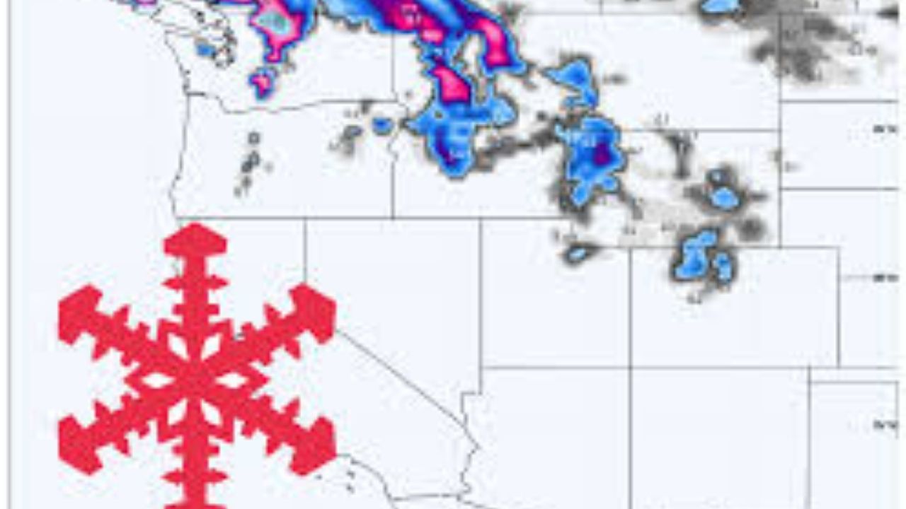
A stormy, wind-whipped week is on the way for the Pacific Northwest, with a warm start that favors heavier, wetter snow at lower elevations before a powerful midweek cold front drops snow levels to the passes and kicks off the deepest mountain totals, followed by a warmer late-week pulse that turns snow dense again before cooler, showery snow closes out the week. Snow levels begin relatively high in mid-December, then drop to roughly 2,000-2,500 feet midweek before wobbling back up late in the week. The North Cascades receive the most overall snowfall, although the Oregon Cascades have more instability in snow amounts and quality, as well as occasional compelling ridge winds. Expect regular visibility and comfort difficulties during the windiest periods, with snow quality improving significantly once the colder air settles in mid- to late week.
Monday night and Tuesday begin rather warm, with snow levels remaining high enough that the lower and mid elevations of the Cascades can bias toward wetter snow or mixed precipitation, while the highest terrain accumulates modestly. Snow levels are often raised during this opening phase, around 3,000-6,400 feet in the Washington Cascades and up to 6,000-9,000 feet at times farther south; therefore, lower elevations are most likely to see dense snow around the rain line. Snow-to-liquid ratios also reflect the warmth, with many sites operating in the 5-10:1 range, resulting in heavy, upside-down snow where temperatures are close to freezing. Winds remain a major effect early on, particularly along exposed ridgelines, laying the groundwork for a more dramatic transition when the next system approaches.
The main event is Tuesday night through Wednesday, with a fast cool-down, rapidly decreasing snow levels to roughly pass elevation, and a surge of heavy mountain snowfall accompanied by very high winds on the Cascade crest. Snow levels plummeted swiftly, dropping to around 2,000–2,500 feet in many regions by Wednesday, transforming the mountains into all-snow conditions and driving the highest storm totals in the North Cascades and along the Washington Cascade Crest. This period is also the windiest stretch for many higher levels, so prepare for moments of exposed terrain that seem downright boisterous. Snow quality is varied early in the storm, with SLRs ranging from 6 to 10:1, but improves behind the front, with several periods reaching 11 to 14:1 for a more wintry, chalky-to-fluffy feel by late Wednesday or Friday. Where operations are open, Whistler should experience a significant refresh with better quality later in the week when snow levels drop to about 500-900 feet and SLRs reach 14-15:1 ratios.
Thursday and early Friday bring another moisture surge that favors greater precipitation while also pushing snow levels back up at times, particularly in the Oregon Cascades, keeping the snow thicker and more varied by elevation. Snow levels in the Oregon Cascades can rise back to 5,800–7,600 feet during the warmest part of this window, when the snow becomes noticeably wetter and heavier at mid-mountain and lower. After that, cooler weather and lighter, more showery snowfall return later Friday and Saturday, with snow levels falling back to around 2,400–3,900 feet and SLRs improving to a fair-to-good condition. Looking beyond this window, the pattern favors continued active moisture into late December across Washington and Oregon, with more storm chances and above-normal precipitation overall, while temperatures remain mild enough at times to keep snow levels fluctuating rather than staying low for long stretches.
Resort Forecast Totals
- Mt Baker – 43″–64″ Mon night (12/15) – Sat (12/20)
- Stevens Pass – 39″–57″ Mon night (12/15) – Sat (12/20)
- Timberline – 37″–56″ total (4″–5″ Mon night (12/15) – Tue (12/16) + 33″–52″ Tue night (12/16) – Sat (12/20))
- Crystal Mountain – 30″–45″ Mon night (12/15) – Sat (12/20)
- Whistler – 27″–40″ Mon night (12/15) – Sat (12/20)
- Snoqualmie Pass – 22″–34″ Tue night (12/16) – Sat (12/20)
- Mt Bachelor – 17″–26″ Tue night (12/16) – Sat (12/20)


Leave a Reply