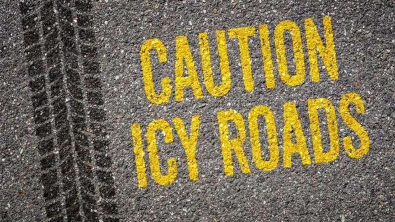
A winter weather advisory is in force for parts of north-central and central Wisconsin, as quickly lowering temperatures are likely to trigger a flash freeze, making wet roadways treacherous and travel difficult until early Friday.
The National Weather Service in Green Bay predicts that wet and untreated roadways will freeze quickly late Thursday afternoon and evening as colder air comes in, resulting in regions of black ice. Light snow is also forecast, with accumulations of an inch or less; however, northern Vilas County may receive up to a few inches.
Forecasters predict that swiftly lowering temperatures will sweep in from the west, causing wet and untreated roadways to ice quickly. That means that icy conditions might develop quickly, possibly within an hour or two of temperatures dropping below freezing.
The alert applies to Marathon, Portage, Waushara, Wood, Langlade, Lincoln, Oneida, and Vilas counties, as well as Wausau, Stevens Point, Wisconsin Rapids, Marshfield, Merrill, Rhinelander, Antigo, and Eagle River. Wind gusts are forecast to reach 30 to 35 mph.
Snow showers are predicted to persist tonight, occasionally becoming moderate, before easing by Friday morning. The caution is in force until 6 a.m. Friday.
Additional light snow may affect travel Friday night and Saturday morning, particularly in northern Wisconsin.
Drivers are asked to slow down and be cautious. Call 511 to find out the current road conditions. The National Weather Service also urged spotters and the general public to report dangerous travel conditions when they arise.


Leave a Reply