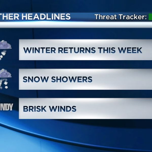
Unseasonably high temperatures will dominate much of West Virginia today, but a strong cold front passing across the region overnight will bring a drastic change in weather by Friday. According to the National Weather Service in Charleston, temperatures will rise significantly above normal today, with dry conditions in the morning followed by increasing cloud cover and a higher possibility of showers in the afternoon as breezes grow gusty.
The cold front is anticipated to hit the state overnight, bringing rain and strong winds, particularly in higher elevations. Winds will increase late tonight, with the highest gusts expected around the northern and central mountain ridges. After a somewhat pleasant evening, temperatures will drop significantly overnight as colder air enters the region behind the front.
Wind advisories will be in effect for areas of the higher altitudes by Friday morning, with gusts ranging from 50 to 55 mph. Wind gusts in the lowlands can reach 30 to 35 mph, resulting in blustery and uncomfortable conditions throughout the day. Temperatures will be substantially colder on Friday than they are today, with readings remaining stable or gradually declining throughout the day.
As colder air moves in early Friday morning, precipitation is predicted to shift from rain to a rain-and-snow mix, then complete snow in the mountains. Light snow accumulations are anticipated, particularly around the higher ridges, before precipitation ends by early Friday afternoon. Warmer ground temperatures are predicted to cause little or no accumulation in the lowlands.
Residents should prepare for rapidly changing circumstances, secure loose outdoor items ahead of heavy gusts, and exercise caution while traveling over mountainous areas where snow and gusting winds may temporarily restrict visibility. Maintaining weather awareness tonight will be critical as West Virginia transitions from moderate to considerably colder and windier conditions.







Leave a Reply