As winter officially begins in the Baltimore-Washington region, breath becomes apparent on sidewalks this morning. The sun rises over a frigid skyline, yet the air remains sharp, and gloves seem necessary for early errands.
Temperatures in Washington linger around the mid-30s, with wind chills closer to freezing. Today’s skies remain mainly sunny, with afternoon highs in the upper 40s. The roads remain dry, and travel conditions are quiet throughout the day.
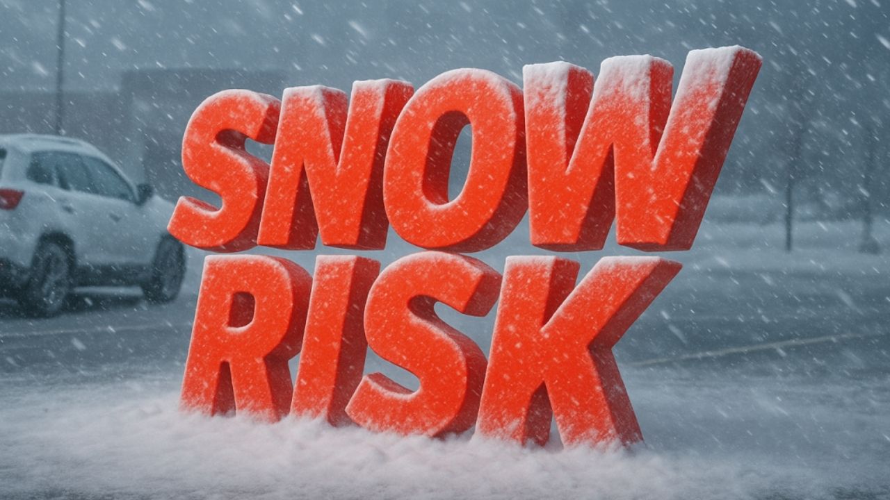
According to the National Weather Service, the major change will occur late Monday. Clouds thicken throughout the day, with highs in the mid-40s. By Monday night, cooler air remains near the surface as moisture moves in. A brief period of rain and snow is anticipated between late evening and early Tuesday morning, particularly north and west of the district.
Even if the snowfall appears to be light, it can cause slick spots on untreated roadways, bridges, and overpasses. Temperatures hover near freezing overnight, prompting concerns about scattered icing where precipitation persists. Early Tuesday commuters could expect lower traction on I-95, I-270, and secondary highways.
Conditions improve on Tuesday afternoon. Clouds thin, temperatures rise to the low 50s, and roads dry fast. The weather becomes more calm throughout the middle of the week. Wednesday is largely bright and seasonable, providing a pleasant reprieve for vacation travel.
Christmas Day weather is pleasant yet disturbed. Clouds increase again, with the possibility of rain later in the day or at night. There are currently no strong winter storm signs, but timing remains critical for travelers.
Plan ahead for Monday night and early Tuesday. Allow extra driving time, particularly before sunrise. Winter is creeping in gently, but it is making its presence felt. Are you leaving early Tuesday morning?
Five-Day Forecast for Washington, DC
- Today: Mostly sunny and cold. High near 49.
- Monday: Increasing clouds. High near 44.
- Tuesday: Early rain or snow chance, then clearing. High near 53.
- Wednesday: Mostly sunny. High near 51.
- Christmas Day: Mostly cloudy, rain possible. High near 52.


Leave a Reply