Northern Illinois is expected to experience strong winds and sharply falling temperatures on Dec. 28 and 29, 2025.
Storms are possible Sunday as a weather system moves through the region, bringing the chance for high wind gusts and rapidly dropping temperatures Sunday night into Monday.
The National Weather Service said widespread showers with embedded storms are expected from Sunday morning through the early evening hours.
Some storms could become strong to severe, mainly during the afternoon and primarily in areas south of Interstate 80, according to the NWS.
Possible hazards include lightning and gusty winds. Heavy downpours may also occur, which could lead to localized flooding.
Farther south, damaging winds capable of bringing down tree limbs are a concern, and there is a small chance of a brief tornado, the weather service said.
After the storms move out, strong winds and much colder air are expected to move in.
Wind gusts between 45 and more than 50 mph are forecast, with high winds likely from about 6 p.m. Sunday through 6 p.m. Monday.
High temperatures on Sunday are expected to range from the mid-50s to near 60 degrees, said National Weather Service meteorologist Jake Petr. He noted it will be cooler in the north and warmer in the south, but added that the warmer temperatures will not last long.
From Sunday into Monday, temperatures are expected to drop into the teens, with wind chills falling below zero. Petr said the rapid temperature drop could cause surfaces still wet from rainfall to freeze quickly.
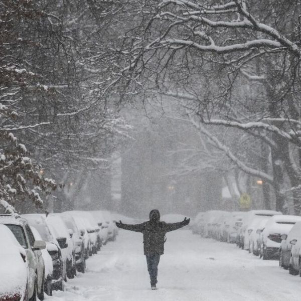
Snow showers and flurries are possible through Monday morning. The weather service said snow could fall between 9 p.m. Sunday and noon Monday, with accumulations ranging from a dusting to up to one inch. The greatest snowfall amounts and coverage are expected north of Interstate 80.
The National Weather Service urged residents to secure outdoor furniture and decorations and to stay updated on forecast changes. Officials also warned drivers to prepare for hazardous travel conditions, possible localized power outages, and areas of patchy black ice.
Earlier Saturday, the NWS said locally heavy rainfall is possible Sunday. Widespread rainfall totals are expected to range from 0.25 to 0.75 inches, with some locations receiving between 1 and 1.5 inches of rain.
This article has been carefully fact-checked by our editorial team to ensure accuracy and eliminate any misleading information. We are committed to maintaining the highest standards of integrity in our content.


Leave a Reply