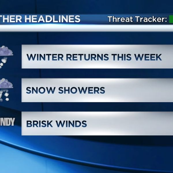
All eyes are on a blizzard that is expected to hit southeast Minnesota and northern Iowa on Sunday and Monday. This is a highly dynamic forecast with various variables to keep track of.
First, timing… precipitation has already begun as pure rain throughout the I-35 corridor, with temperatures nearing freezing. The arctic cold front will move through the I-35 corridor by mid-Sunday morning. The transition will already be happening from west to east.
By noon Sunday, the transition will be complete, with the whole region seeing pure snowfall as temperatures begin to drop into the single digits overnight behind the arctic front.
Behind the boundary, winds will veer northwest and totally CRANK. Winds will be sustained at 30-40 MPH, with gusts reaching 60 MPH in some areas, from Sunday afternoon until Sunday night.
As a result, blizzard conditions will prevail, particularly in the vast stretches of the I-35 and I-90 corridors, rendering travel impossible and potentially fatal. If you intend to go back home after your Christmas celebrations on Sunday, it is recommended that you cancel all plans and wait for the storm to clear.
A Blizzard Warning will be issued for the entire region, with the exception of Goodhue, Wabasha, Winona, and Houston counties, from 9 a.m. Sunday to 9 a.m. Monday. A Winter Storm Warning will be in force for the aforementioned counties from 12 p.m. Sunday to 9 a.m. Monday, where blizzard conditions are less expected.
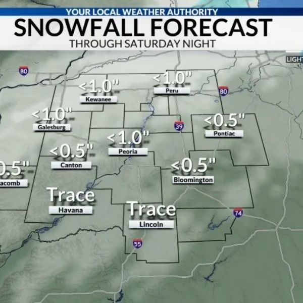
In sum, the largest snowfall accumulations will occur in southeast Minnesota, where double-digit totals are expected along/north of the HWY 14 corridor. Lower yet significant amounts will be observed southward.
Snow will continue to fall until Monday morning, with temperatures dropping into the single digits. As winds stay high, wind chills are expected to plunge to the -10s to -20s as you try to go out the door. Wind chills will be in the -10s all day Monday, with wind gusts predicted to decrease slightly but remain in the 30-40 MPH range into the evening.
Stay tuned to the prediction throughout the next 12-24 hours as this system evolves.







Leave a Reply