A severe cold front will hit Central Florida early Monday evening.
Rain chances remain extremely low, with only a brief sprinkle or shower as the front passes through.
Temperatures ahead of the front are forecast to remain above average, with highs in the Orlando area reaching the upper 70s.
Beach conditions remain perilous, with numerous powerful and potentially fatal rip currents along the Atlantic coast. While boating conditions will be fair, a Small Craft Advisory will be issued Monday night as winds pick up.
Much colder air arrives Monday night, with temperatures dropping dramatically beginning late in the evening.
Neighborhoods northwest of I-4 will feel the chill early, with temperatures dropping into the upper 30s.
Many inland locations will have low- to mid-40s temperatures, with 50s closer to the shore.
Gusty northwest winds behind the front will make it seem much colder, with wind chills at sunrise in the 30s in the north and west and in the 40s farther south.
Tuesday
Tuesday will be breezy and much cooler, with highs near 60 degrees north of Interstate 4 and low to mid-60s to the south.
Tuesday night is shaping up to be the coolest of the week.
Overnight temperatures are predicted to be in the 30s across much of the region, with a few interior spots perhaps dropping into the lower 30s for a short period of time.
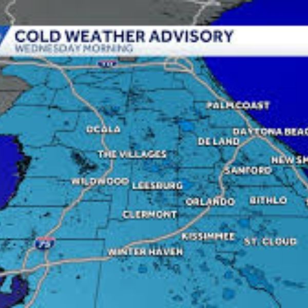
Wind chills across most of Central Florida could drop into the mid 20s to low 30s late Tuesday night and Wednesday morning, necessitating a Cold Weather Advisory or even a Freeze Watch.
New Year’s Outlook
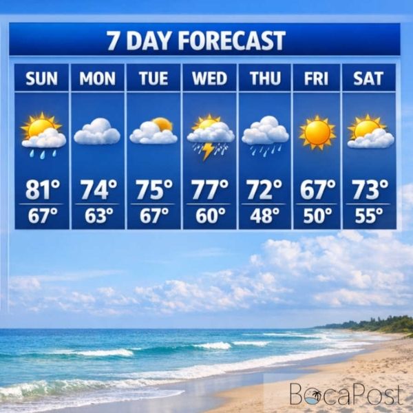
The remainder of the week will be generally dry as cooler and drier air continues in place.
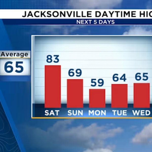
High temperatures will remain in the 60s until the end of 2025, before gradually rising to the low 70s by Friday.
By the time the clock strikes midnight in 2026, temperatures will be rapidly decreasing, particularly inland, with several regions in the 40s and possibly upper 30s away from the coast.
A light breeze will add to the chill for anybody celebrating outdoors, so jackets and layers are required if you intend to be outside when 2026 begins.
A moderate warming trend will continue into early next week, with highs returning to the 70s and milder overnight temperatures by Saturday and Sunday.








Leave a Reply