Big rain is poised to renew flash flooding in Northern California in the coming days. Driving over Donner Pass, California, may halt as temperatures plummet and feet of snow accumulate in the mountains.
Low-elevation rain will spread across much of the western United States early in 2026, posing the greatest risk of floods and travel disruptions in Northern California, where lowering snow levels threaten mountain pass closures.
The first round of heavy rain soaked Southern California’s coastal districts from Wednesday night until Thursday morning. The majority of the rain will fall in Central and Northern California through Thursday night, causing ponding on poorly draining roadways and increasing the potential of localized flash flooding, especially where heavy rain lasts for an extended period of time.
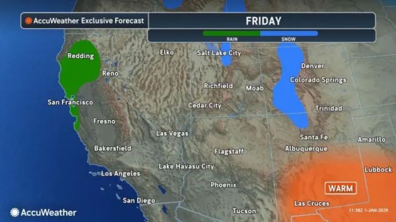
Much of California will see a break in the rain on Friday, while pockets of rain and high-country snow will move into the Northwest states, the interior deserts, and the intermountain west.
The rain will fall through Friday, with the main storm sitting well offshore over the Pacific. Then, when the storm moves east this weekend and early next week, the rain will intensify and concentrate on Northern and Central California. An atmospheric river may emerge, intensifying the rain and increasing the risk of widespread flash flooding and mudslides.
Much of the rain may remain north of San Diego, Los Angeles, and northwest of Las Vegas from Friday to Saturday night, with scattered showers. On Sunday, a steady rain will arrive from the west.
From Friday night to Monday evening, much of the California coast north of Los Angeles is expected to receive 2-4 inches of rain, with greater amounts possible locally. The northern Sierra Nevada’s lower, west-facing slopes are expected to receive 4-8 inches of rain, with an AccuWeather Local StormMax™ of 12 inches. Even most of California’s Central Valley will see heavy rain, with Sacramento expecting 1-2 inches.
Intense rain may cause flooding in urban and low-lying drainage areas, as well as flash flooding of tiny streams and some short-run rivers that flow from the mountains in Northern and Central California.
Some heavy rain is also expected in the Pacific Northwest on occasion, although the impacts will be mild in comparison to the massive flooding in early December.
Multiple feet of snow coming to Sierra Nevada
Upcoming significant snow in the Sierra Nevada and maybe the Siskiyou Mountains in Northern California could cause serious travel problems.
From Saturday night to Monday, snow levels will begin to drop in Northern California’s mountains. As a result, snow will accumulate in the high country but gradually disperse to the passes and some intermediate elevations.
“By early next week, snow levels may dip to 4,500 feet in the northern Sierra Nevada,” AccuWeather Storm Warning Meteorologist William Clark warned. “This would correlate to a long stretch of wintry conditions along Interstate 80 in the higher elevations of the mountain range, with several feet of snow possible over Donner Pass, California.”
Crews may struggle to keep up with this much snow, and Donner Pass will likely be closed for some time.
Snow levels will fall in the Washington and Oregon Cascades, although precipitation will be lighter. Road personnel should be able to handle slushy and slippery conditions, especially those over Snoqualmie Pass on Interstate 90 in Washington.
Another round of heavy rain might hit Southern California on Monday and Tuesday.


Leave a Reply