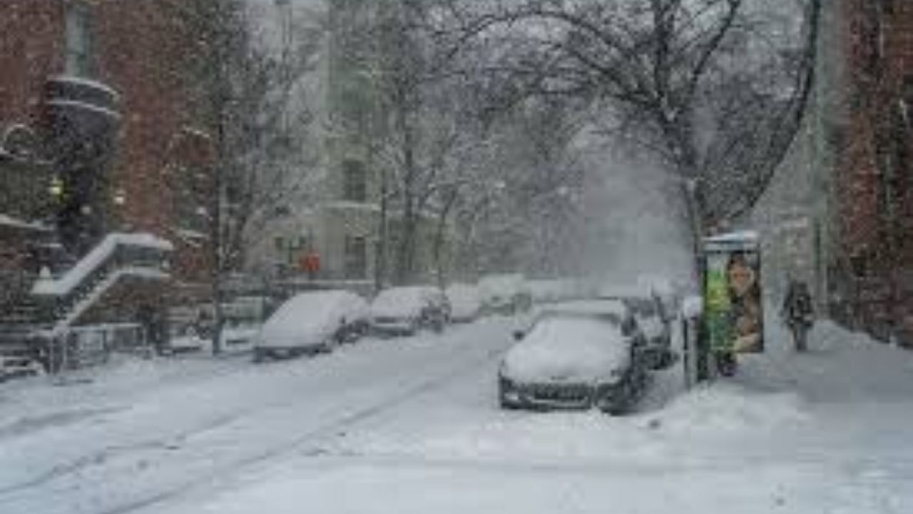
Winter weather is likely to persist in parts of Western New York today, with further lake effect snow forecast to bring several more inches of snow.
Winter Storm Warning Extended In Western New York
A Winter Storm Warning is in effect for Wyoming, Chautauqua, Cattaraugus, and Southern Erie counties today until 10 p.m. The warning was originally due to expire at 1 a.m. this morning, but it was moved back to 10 a.m., and the National Weather Service in Buffalo has now prolonged it until 10 p.m. tonight.
The most of the new snow will fall in the Southern Tier and ski country, although the southern portion of Western New York may receive an extra 3-5 inches. Weather conditions may also have an impact on travel. Wind gusts could generate whiteout conditions along roads, and thick snow could significantly slow things down.
Weather Set To Improve In Western New York
The weather forecast for Western New York appears to be improving. temps are expected to rise as we approach the weekend, and we may still get some lake effect snow on Saturday and Sunday before temps reach the 40s next week. We may also have rain showers in the middle of next week, which will help melt some of the snow that is already on the ground.
Snow Totals In Western New York
Here’s a look at how much snow fell this week in Western New York, according to WIVB Channel 4.
Amherst: 3.5 inches
Buffalo: 5.5 inches
Buffalo Airport: 6.1 inches
Cheektowaga: 4.5 inches
Eden: 14 inches
East Aurora: 14 inches
Elma Center: 16.4 inches
Hamburg: 22.5 inches
Kenmore: 4.2 inches
Lake View: 14 inches
Orchard Park: 10.5 inches
Springville: 10.5 inches
Tonawanda: 3 inches
Williamsville: 5.3 inches


Leave a Reply