ILLINOIS – Snow lovers across Illinois, Indiana, and Ohio may be let down in the coming days, as forecast data points to very limited snowfall across much of the region while most meaningful winter snow remains north over Wisconsin and Michigan.
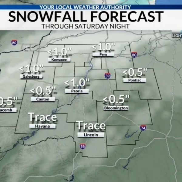
According to the latest seven-day snowfall outlook, dry air dominating the Midwest this weekend will suppress snow chances south of the Wisconsin–Illinois border. Much of northern Illinois, including the Chicago and Naperville areas, is expected to see little to no accumulation, with only isolated flurries possible near the I-80 corridor.
Snowfall totals favor Wisconsin and Michigan, not Illinois
Forecast maps show most accumulating snow staying well to the north, with parts of Wisconsin and Michigan expected to pick up 2 to 4 inches. Some localized areas near the Great Lakes could see higher, lake-enhanced totals.
Meanwhile, large portions of Illinois, Indiana, and Ohio remain in the lowest snowfall categories, indicating less than half an inch or no measurable snow at all over the next week.
Warmer temperatures next week further reduce snow chances
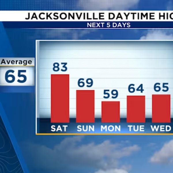
Temperatures are forecast to trend warmer next week, further limiting any opportunity for snow across the central Midwest. Even as weak systems move through, conditions are not lining up for widespread snow south of Wisconsin.
For communities hoping for a classic January snowfall, the near-term pattern is simply not favorable. NapervilleLocal.com will continue monitoring Midwest winter trends and provide updates if colder air or stronger snow-producing systems develop later this month.







Leave a Reply