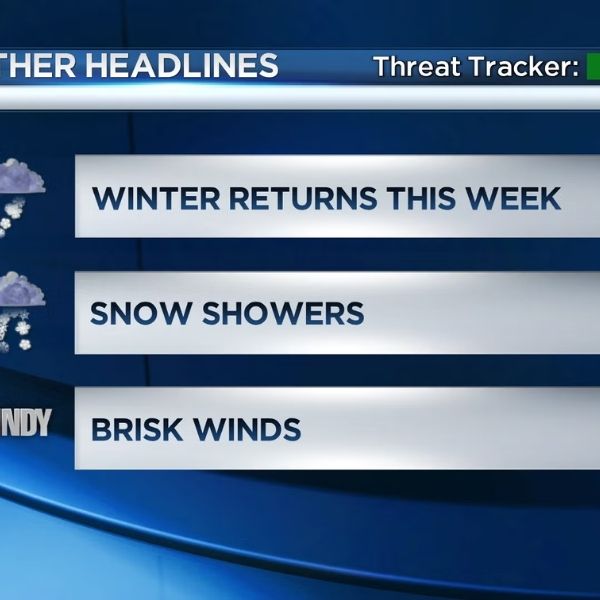
Michigan awakens to a steel-gray sky as snow clouds descend across the northern Lower Peninsula. Flakes begin light, but the silence will not last. Conditions are already deteriorating, with the most disruptive winter weather of the year on its way.
Temperatures across northern Michigan remained in the 20s this morning. Roads appear damp in places, but colder pavement lies beneath. As snow falls this evening, surfaces will get slick quickly. Drivers on US-131, I-75, M-32, and M-72 should be ready for rapidly shifting circumstances.
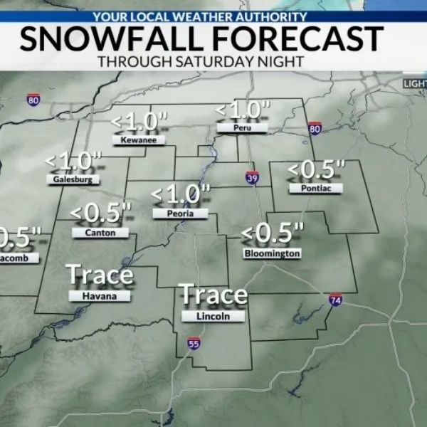
According to the National Weather Service, extensive accumulation of snow began this evening and will continue into Monday morning. Most regions north of M-55 will expect 4 to 8 inches, with locally higher amounts likely. The most intense bursts may reduce visibility to less than a quarter mile.
Snowfall will be most intense later tonight, particularly between 9 p.m. and 5 a.m. Travel is predicted to be risky during this time. Snow-covered roads and poor visibility will decrease emergency response times and increase crash risk.
As snow begins to melt Monday morning, the effects may remain. Meteorologists are monitoring a transition from snow to freezing drizzle, which could potentially encase untreated roadways in ice. That period overlaps with the Monday commute, prompting fears about black ice even as snow totals decrease.
The winds are largely low, but drifting is likely in open locations. Temperatures remain in the 20s, limiting melting. Even after the snowstorm stops, traffic conditions may stay severe until lunchtime.
Looking ahead, northern Michigan will remain wintry until midweek. Additional rain and snow are expected Tuesday night as temperatures rise. Forecasters continue to expect heavier Great Lakes snow later in January.
For now, this is the classic northern Michigan winter scenario. Delay travel if feasible, keep emergency supplies on hand, and regularly follow updates.







Leave a Reply