High pressure across the state will keep Central Florida drier and warmer than usual until a cooldown returns by the weekend.
Fog formed early Thursday, with visibility less than a quarter mile in some areas through daylight, prompting a Dense Fog Advisory until 10 a.m.
Fog will most likely return early Friday, marking the seventh consecutive morning with foggy conditions.
Temperatures will rise well above normal, with highs in the upper 70s to low 80s on Thursday and somewhat higher in the low to mid-80s on Friday and Saturday. Not only is that roughly 10 degrees above usual, but it may also be nearing records.
Weekend
Saturday stays warm and largely dry, with the possibility of a few scattered coastal showers.
Rain chances are forecast to stay low as clouds and humidity build ahead of an approaching front.
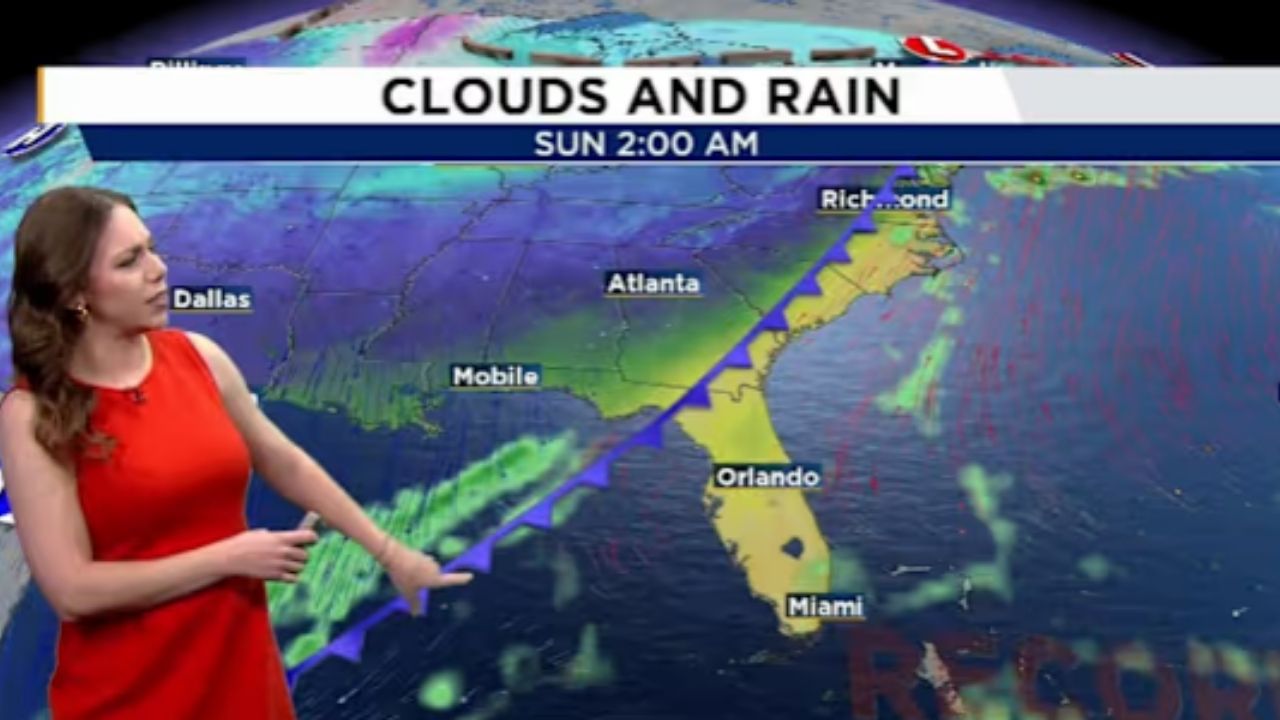
A cold front moves south into the area on Sunday, bringing notable weather changes.
The front may bring a 20–30% chance of scattered showers Sunday afternoon and evening.
Next Week
Behind the front, cooler, drier air will arrive early next week.
Winds will shift north to northwest on Sunday, becoming brisk at times before subsiding by midweek.
Temperatures will return to winter-like levels, with highs in the upper 60s Monday through Wednesday.
Overnight lows may be in the low to mid-40s, with upper 40s to low 50s farther south.


Leave a Reply