Warmer, sunny weather expected by the weekend
QUAD CITIES, Iowa/Ill. (KWQC) — YOUR FIRST ALERT FORECAST FROM CHIEF METEOROLOGIST ERIK MAITLAND:
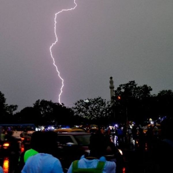
Showers and thundershowers are expected to develop late Tuesday afternoon through Tuesday night over parts of the TV6 viewing area, mainly along and south of I-80. Widespread development is likely. While no severe storms are expected, the abundant moisture could produce heavy rainfall in some spots.
Starting Wednesday, a moderate stretch of dry weather returns. Highs will reach the upper to mid-70s through Thursday. By Friday, temperatures climb back into the 80s and will stay there into early next week.
Unfortunately, the rain outlook after Tuesday night remains poor. Long-range forecasts out to 14 days indicate very dry conditions.
TONIGHT: Partly to mostly cloudy with scattered thundershowers south of I-80. Low: 60. Wind: NE 5–10.
WEDNESDAY: Mostly cloudy with some afternoon sun. High: 75. Wind: N/NE 10.
THURSDAY: Mostly sunny. High: 77.
This article has been carefully fact-checked by our editorial team to ensure accuracy and eliminate any misleading information. We are committed to maintaining the highest standards of integrity in our content.


Leave a Reply