Illinois awakens to rattling windows and swirling snow as winter exerts its strength in the Chicago area. Flags whip violently, light snow skitters across the street, and strong west winds make it feel more colder than the thermometer shows.
As of Monday morning, a Wind Advisory is still in force for Chicago and parts of northeast Illinois. Gusts of 45 to 55 mph are forecast through the afternoon, with even stronger bursts likely near the Indiana border and Lake Michigan shoreline. Light snow continues to fall intermittently, but the wind makes even modest accumulations difficult to see.
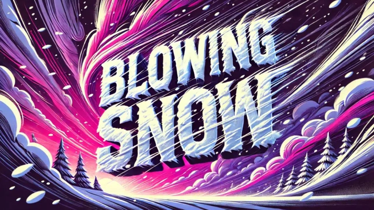
Blowing snow causes slick spots on untreated highways, particularly bridges and overpasses. During snowstorms, travel on I-90, I-94, I-290, and Lake Shore Drive may slow down significantly. Crosswinds will push high-profile automobiles, especially during the late morning commute.
Temperatures remain frigid today, peaking at 24 degrees. Wind chills can reach near zero at times, making extended outside exposure uncomfortable. Before the winds pick up, secure any unsecured holiday decorations and trash bins.
Conditions progressively calmed Monday night as winds eased, but frigid air remained. Tuesday’s weather will be quieter, with increasing clouds and highs near 29. By Wednesday, clouds thicken again, with a new chance of snow late in the day and Wednesday night, shortly before New Year’s Eve.
New Year’s Day 2026 is expected to be cold but dry, with highs around 20 degrees and calmer circumstances for holiday planning. However, frequent freeze-thaw cycles and drifting snow may create treacherous conditions during late-week travel.
Five-Day Forecast for Chicago, Illinois
- Monday: Windy, snow showers, gusts 45–55 mph, high 24
- Tuesday: Mostly cloudy, calmer, high 29
- Wednesday: Mostly cloudy, chance of snow late, high 32
- New Year’s Day: Mostly sunny, cold, high 20
- Thursday: Partly cloudy, low near 14


Leave a Reply