Forecast confidence is increasing for a winter storm that could bring accumulating snow to parts of Missouri and Illinois Friday night into Saturday.
The National Weather Service in St. Louis says precipitation is expected to begin as snow in most areas before transitioning to rain later in the storm. Because the system is still several days out, the exact track and how long any location remains in the snow zone remain uncertain.
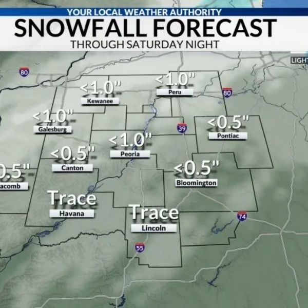
At this stage, northeast Missouri and west-central Illinois have the highest likelihood of seeing measurable snow.
For the St. Louis metro area, including Alton and Edwardsville, the Weather Service places the chance of receiving more than one inch of snow at 60–80%. There is a 50–70% chance of more than two inches and a 20–40% chance of totals exceeding four inches.
“Confidence in impactful snowfall accumulations is rising given the decreasing model spread and a stronger signal for high precipitation rates,” the NWS said. “Amounts should increase the farther north and east you travel, putting west-central Illinois in the favored zone for the heaviest snowfall totals.” LREF probabilities show a 30–70% chance of three inches or more by Saturday evening across northeast and east-central Missouri into Illinois.
Snow chances increase significantly near Jacksonville, where there is a 70% probability of at least three inches of snow.
AccuWeather estimates give Edwardsville a 32% chance of receiving 1–3 inches and a 26% chance of 3–6 inches. Their forecast predicts snow beginning around 2 a.m. and ending by 1 p.m. Saturday, Nov. 29.
For Alton, AccuWeather shows a 40% chance of 1–3 inches and a 19% chance of 3–6 inches, with snow expected between 3 a.m. and 1 p.m. Saturday.
Jacksonville is projected to see the highest snowfall potential in the region, with a 36% chance of 3–6 inches and a 28% chance of 6–10 inches. There is also a 24% chance of totals between 1 and 3 inches.
The NWS notes that there is an increasing signal for the possibility of five inches or more in west-central Illinois. If trends continue, a winter storm watch may be issued within the next 24 hours.
This article has been carefully fact-checked by our editorial team to ensure accuracy and eliminate any misleading information. We are committed to maintaining the highest standards of integrity in our content.








Leave a Reply