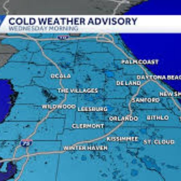
Tallahassee, Florida — A noticeable turn to colder and windier weather is developing across North Florida, South Georgia, and Southeast Alabama as a cold air mass settles into the region. The National Weather Service in Tallahassee says breezy northwest winds today will usher in much cooler temperatures tonight, leading to freezing or near-freezing conditions early Monday and Tuesday mornings.
Sunday afternoon temperatures will steadily drop behind the cold front, with sustained winds between 10 and 20 mph and gusts reaching around 30 mph. The greatest chance of gusts above 25 mph is expected west of the Flint River, across Southeast Alabama, and into the eastern Florida Panhandle. Residents are urged to secure loose outdoor items, as strong winds could cause minor property issues and make driving more difficult, especially for high-profile vehicles.
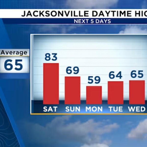
Overnight lows are forecast to fall into the low to mid-30s across much of the area, with some inland locations reaching or briefly dipping below freezing by Monday morning. Wind chills will add to the chill, making it feel like the mid-20s to mid-30s during the morning commute. Tallahassee, Albany, Bainbridge, Dothan, and Valdosta are expected to see the coldest wind chills from sunrise through mid-morning Monday.
Cold conditions will persist into Tuesday morning, bringing another round of chilly wind chills before temperatures slowly begin to recover. By Tuesday afternoon and evening, highs are expected to move closer to seasonal norms as winds ease and the cold air mass weakens.
Residents are encouraged to take steps to protect sensitive plants, pets, and exposed pipes, especially in areas vulnerable to freezing temperatures. Wearing layers, limiting outdoor activity during the coldest hours, and using caution on windy roads are recommended.
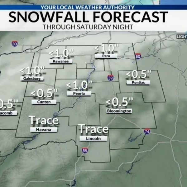
While no widespread winter weather is anticipated, the mix of gusty winds and cold mornings makes this a notable cold snap for the region. Additional advisories or updates may be issued if conditions change.






Leave a Reply