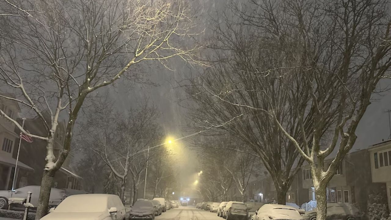
Drivers in eastern North Dakota and northwest Minnesota faced slick and potentially ice roads Tuesday night as freezing precipitation and flurries moved over the region, producing hazardous travel conditions even when the surface appeared wet.
According to the National Weather Service in Grand Forks, freezing drizzle will continue until late evening before gradually shifting to light snow after midnight. The drizzle phase presents the most risk, as thin layers of ice can build quickly on untreated roadways, bridges, and overpasses. Minor snow accumulations are forecast till Wednesday morning.
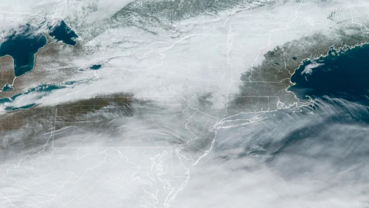
The wintry mix is affecting most of the Red River Valley, including Grand Forks, Fargo, Devils Lake, and the rural routes that surround them. Traffic cams from the North Dakota and Minnesota Departments of Transportation reveal limited visibility and sloppy conditions, particularly on secondary roads. Officials advise drivers to slow down, increase their following distance, and check latest traffic reports before leaving.
Motorists are recommended to check 511 or state DOT travel websites for the most up-to-date road conditions. Even mild precipitation can cause collisions when temperatures are near freezing.
Conditions are expected to progressively improve Wednesday morning as precipitation subsides, however ice spots may persist during the early commute. If freezing drizzle continues for an extended period of time, additional travel advisories may be issued.


Leave a Reply