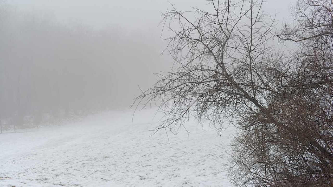
Areas of freezing fog will form across central Pennsylvania tonight and early Thursday morning, causing potentially hazardous travel conditions with slick places on roads and walkways.
Temperatures will drop into the 20s overnight, with partly overcast sky.
A strong weather system will provide widespread rain to the region from Thursday evening to early Friday morning, with most regions receiving half an inch to one inch.
Higher amounts surpassing one inch are likely in eastern central Pennsylvania, especially in places with terrain augmentation.
Strong winds will start Thursday night and intensify on Friday, with gusts reaching 35 to 45 mph over the region.
These winds might approach warning levels, and the National Weather Service is keeping an eye out for any wind advisories. The cold front will also bring lower temperatures on Friday.
Northwest mountain areas might anticipate 1 to 3 inches of lake effect snow Friday into Friday night as colder air moves in behind the front. The majority of the precipitation should end by early Saturday as high pressure builds.
Looking ahead to Sunday, another powerful cold front will bring a burst of arctic air, gusty winds, and the possibility of further lake effect snow.
The weather pattern is likely to moderate early next week, with seasonable temperatures predicted for Christmas Eve and no major travel disruptions expected at this time.


Leave a Reply