
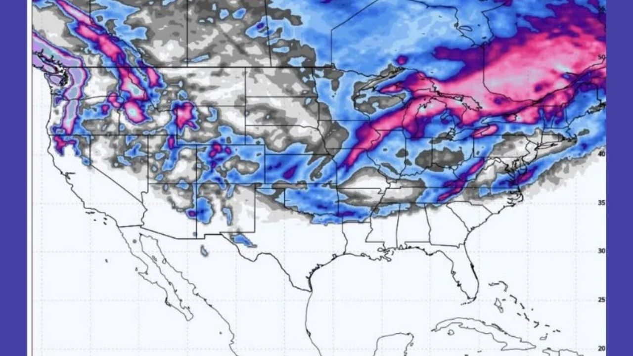
Storms sweeping across the western United States will produce heavy mountain snow, chilly rain, and wet snow at lower elevations, as well as travel interruptions from the northwest to the southwest. Santa Ana winds will track the storm.
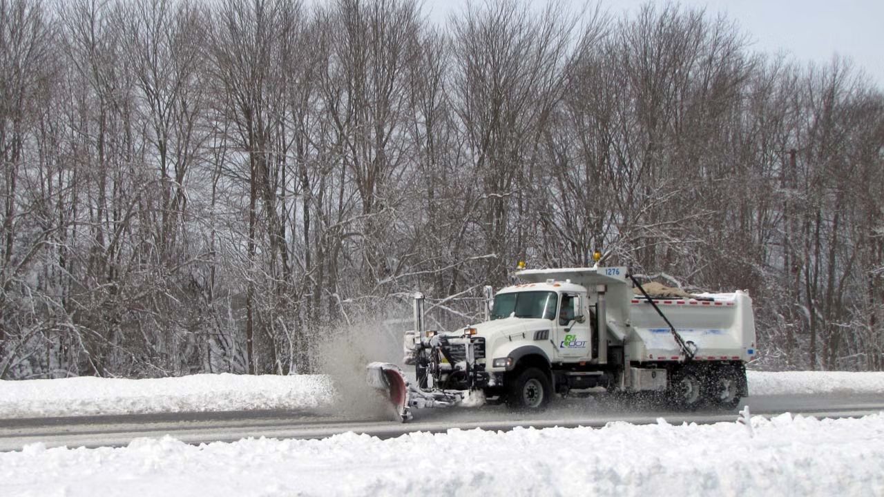
Cold storms approaching the interior this week will deliver heavy mountain snow from the Cascades to the Rockies, posing a hazard for travel over mountain passes and potentially causing delays in cities such as Salt Lake City and Denver as the system moves southeast.
These storms will sweep from Washington and Oregon to Arizona, New Mexico, and Colorado, bringing snow to the mountains and interior West, as well as cold rain at lower elevations near the Pacific coast.
A wintry week for the Northwest
Several feet of snow will accumulate over the Cascades by Thursday night, with 6 to 10 feet likely at the highest peaks. As new snow accumulates, the risk of avalanches increases on steep mountain slopes.
At Cascade Pass levels, snow accumulations of up to a few feet are expected. Snowfall rates might reach or surpass 2 inches per hour at times. As snow levels fall in the Cascades, snow will spread to lower elevations. The combination of heavy snowfall and high rates may make it difficult for road maintenance to keep up, forcing the closure of key mountain passes.
Heavy snow will also fall over the Olympics, with moderate to heavy snowfall in northeastern Oregon’s Blue Mountains as well as sections of Idaho, western Montana, and northwestern Wyoming.
Cold rain will fall along the Interstate 5 corridor in Washington and parts of Oregon, resulting in slick roadways and ponding in areas with inadequate drainage. However, snow levels may fall as low as 1,000 to 1,500 feet, with some accumulation likely in the hills. Slippery conditions are expected above the Siskiyou Summit in southern Oregon.
Winter arrives over the interior West
As the storms move southeast, snow will extend further south as snow levels fall across Nevada, Utah, Colorado, Arizona, and New Mexico. While the snow will alleviate drought worries in the Colorado River Basin, it is likely to cause travel issues in areas that have had little winter weather thus far.
Rain may continue to fall just east of Las Vegas on Thursday and Friday, while Phoenix is expected to get soaked, resulting in hazardous travel. In Albuquerque, New Mexico, rain may mix with and perhaps produce snow, particularly over the heights.
Up to a couple inches of snow are anticipated to fall near Salt Lake City from Wednesday night to Thursday, with comparable accumulations expected in Flagstaff, Arizona, on Thursday.
Denver will see accumulating snow from Thursday afternoon to Friday morning, with up to a few inches in the metro area and a foot or more in the adjacent mountains. While staff should be able to keep up with the storm, roads and runways will be slick for a while, and airline delays are expected owing to deicing operations.
Freeze-ups, Santa Ana follows western US storms
After the storm passes through late this week and into the weekend, high pressure will develop from the Pacific into the Great Basin, causing two weather concerns.
Temperatures will drop in the interior West, where there is new snow on the ground and winds are low. Untreated surfaces that become wet due to melting during the day will refreeze into deadly ice sheets.
As air pressure builds across the Great Basin and interior California, winds will strengthen as they travel over mountain passes, funnel down canyons, and surge toward the Southern California coast.
While recent rain will reduce the risk of wildfires and winds will be far weaker than last year’s firestorms, moderate Santa Ana winds may still collapse saturated soils and top-heavy trees, resulting in blocked roads, minor damage, and localized power outages.


Leave a Reply