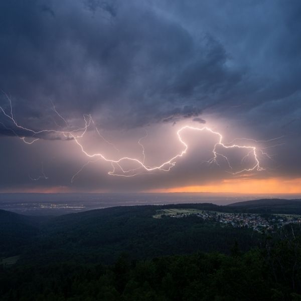
Severe weather strikes unexpectedly during fall storm season
More than 130,000 people across central Illinois rushed for shelter Tuesday afternoon when severe thunderstorms swept through several counties with little warning. The National Weather Service issued urgent alerts within minutes of detecting the fast-moving system, highlighting just how quickly the threat developed.
Ben Deubelbeiss, a National Weather Service meteorologist, said Illinois experiences a second severe weather season in the fall. These storms happen less often than spring systems, but when warm and cold air collide, they can still be dangerous and catch residents off guard.
Rapid Response to Dangerous Conditions
Meteorologists issued warnings just 60 seconds after identifying Tuesday’s severe thunderstorm. Unlike typical alerts that come with hours or days of notice, this immediate warning showed the need for residents to quickly seek shelter.
The first alert went out at 1:20 p.m. Central time for northern Moultrie County, southern Piatt County, southwestern Champaign County, northwestern Douglas County and southeastern Macon County. The storm was moving east at 45 mph from Decatur and was expected to remain a threat until 2 p.m.
Meteorologists also detected quarter-sized hail, large enough to dent cars and break windshields. A second warning followed three minutes later for a separate severe thunderstorm near Hidalgo and Greenup, threatening northwestern Crawford, northeastern Jasper, Clark and southeastern Cumberland counties.
Illinois Faces Hail Threats
The second storm carried an even bigger hail risk — approaching half-dollar size. Hail that large is classified as severe and can cause major property damage, injure livestock and seriously harm anyone outside.
This warning highlighted vulnerable rural areas including Hazel Dell, Lincoln Trail State Park, Darwin, Rose Hill, West Union and Yale. Drivers on Interstate 70 between mile markers 117–129 and 147–154 also faced reduced visibility and dangerous road conditions.
Understanding Fall Storm Patterns
While spring brings the most severe weather in the Midwest, autumn storms create their own set of challenges. When leftover summer warmth meets incoming cold fronts, the atmosphere becomes unstable even though storms are less frequent.
This means residents still need to stay alert as temperatures drop. Tuesday’s rapid warnings showed how quickly conditions can worsen, leaving little time to prepare.
Safety Measures During Severe Thunderstorms
The National Weather Service urged people to immediately move to an interior room on the lowest floor — the safest spot during severe weather to avoid hail, flying debris and potential structural damage.
Officials did not expect widespread severe weather south of Interstate 74, but isolated thunderstorms remained possible through the afternoon, requiring residents to stay alert.
Preparing for Future Storms
As both warnings neared expiration, meteorologists cautioned that more alerts could follow as the storms continued east. Severe thunderstorms can shift danger quickly from one community to the next.
Local officials encouraged residents to stay informed through weather radios, alerts and local news. Tuesday’s fast-developing storms underscored the need for emergency plans before severe weather hits.
Understanding Illinois’ two severe weather seasons helps residents stay prepared year-round. And while spring storms draw more attention, fall weather deserves equal caution.
For the 130,000 people in Tuesday’s storm path, those few minutes of warning made the difference between safety and exposure to dangerous conditions.
This article has been carefully fact-checked by our editorial team to ensure accuracy and eliminate any misleading information. We are committed to maintaining the highest standards of integrity in our content.


Leave a Reply