Residents across Illinois may be ringing in the New Year with springlike temperatures rather than winter cold, as forecast models show near-record warmth developing statewide between December 27 and January 2, a time that is generally among the coldest of the season.
According to the National Oceanic and Atmospheric Administration (NOAA), the 8-14 day temperature forecast significantly favors above-normal temperatures in Illinois, including the Chicago metro area, Rockford, Peoria, Springfield, Champaign-Urbana, and Metro East areas near St. Louis. The chances of above-average temperatures range from 60 to 80 percent.
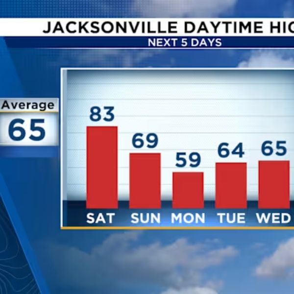
In Chicago, normal highs during the last week of December are typically in the mid-30s. Current forecasts predict daytime highs in the mid-40s to low 50s, with nightly lows well above freezing. If the conditions are right, we could potentially approach or surpass daily warming records as 2026 begins.
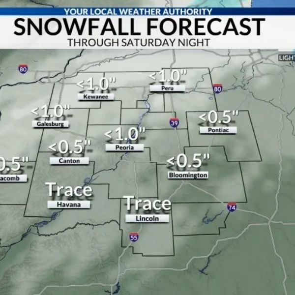
Meteorologists credit the trend to a persistent ridge of high pressure over the eastern United States, which limits Arctic air intrusions while allowing mild Pacific and Gulf air to dominate the Midwest. Snow chances are likely to be low over the holiday travel season; however, cloudy skies and occasional rain are still possible.
Looking ahead, NOAA’s Week 3-4 prediction for temperatures in Illinois from January 3-16, 2026, remains above normal, implying that the mild pattern may persist into the new year. While minor cold spells are still conceivable, prolonged winter conditions may be postponed.
Extended warmth may have an impact on energy usage, winter recreation, agriculture, and insect activity, as well as minimize snow and ice impacts on roadways. Forecasters warn that patterns might still shift, but optimism is increasing that Illinois will begin 2026 warmer than average.





Leave a Reply