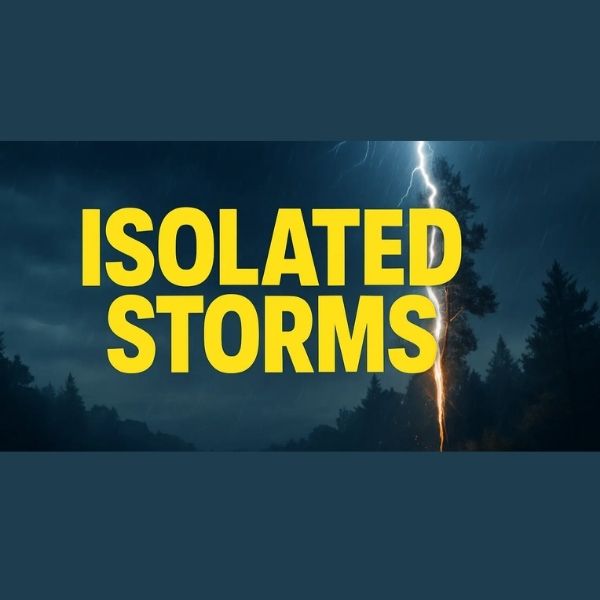
FORT WAYNE, IN — Northern Indiana residents should be prepared for changing weather conditions this evening, as isolated showers and thunderstorms are expected to develop and move into the area after 6 p.m. EDT.
The National Weather Service Northern Indiana reports that storms currently forming in Illinois are moving east and will affect communities along and west of Interstate 69. Frequent lightning and locally heavy rainfall are the main concerns, with small hail and gusty winds possible in stronger storm cells.
As of 3:45 p.m. EDT, storms were moving northeast at roughly 20 mph. Impacted areas could see brief travel slowdowns, especially in western Indiana counties, as the system progresses through the evening.
While the storms are expected to remain scattered, officials advise residents to:
-
Remain alert for rapidly changing conditions
-
Drive cautiously during heavy rainfall
-
Avoid flooded roadways
-
Exercise caution with outdoor activities due to lightning risk
The National Weather Service will provide updates throughout the evening as conditions evolve. Residents are encouraged to monitor local forecasts and be prepared for brief but potentially disruptive weather.
This article has been carefully fact-checked by our editorial team to ensure accuracy and eliminate any misleading information. We are committed to maintaining the highest standards of integrity in our content.


Leave a Reply