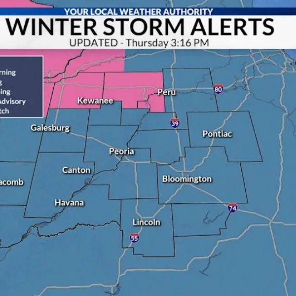
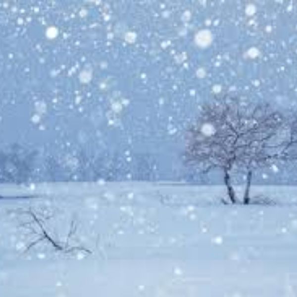
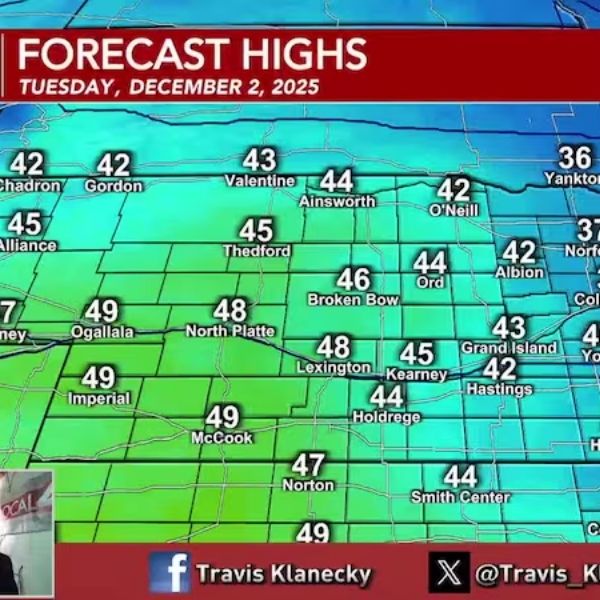
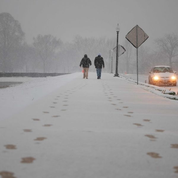
Peoria, Ill. (WMBD) — Just as temperatures begin to rise enough to melt the snow on the ground, another weather system is set to bring light snow and a bit of ice to central and northern Illinois this weekend. Winter weather advisories may be issued for areas along I-80 Saturday night into Sunday.
Key Takeaways:
-
Snow likely Saturday into Sunday
-
Accumulations of 1-3 inches possible north of I-74
-
Glaze of ice possible south of I-74
-
Slick roads possible Sunday morning
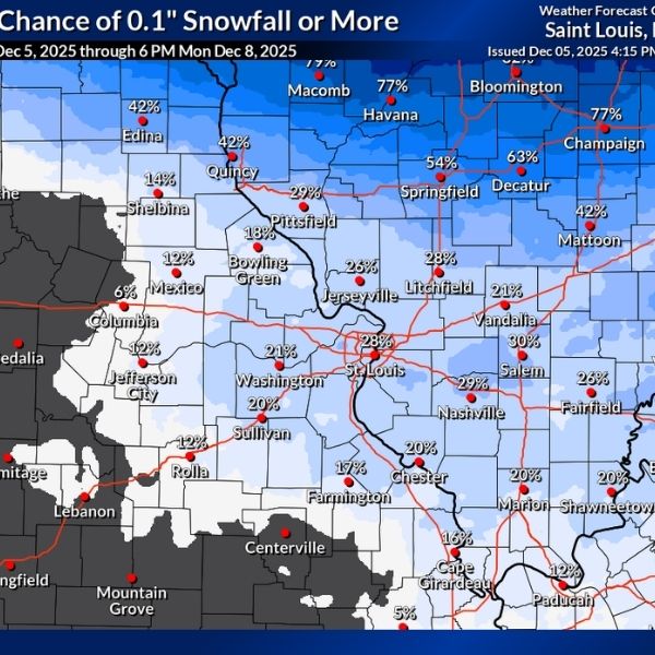
A compact clipper system will move through central and northern Illinois from Saturday night through Sunday morning, bringing light snow to the region. Snow is expected to spread between 8 p.m. and midnight Saturday and exit the area between 8 a.m. and noon Sunday.
Forecast guidance has trended slightly northward, keeping the heaviest snow closer to and north of I-80. A sharp cut-off in accumulations is expected near I-74, where the snow may transition to a wintry mix late Saturday night into Sunday morning. Areas north of I-74 could see 1-3 inches of snow, while regions south of I-74 may experience a dusting to 2 inches, along with a possible glaze of ice or light sleet.
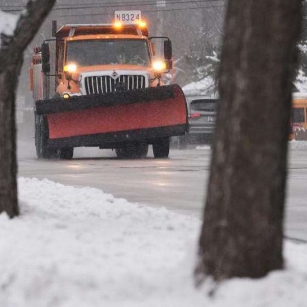
Drivers should allow extra travel time Sunday morning. Snow-related impacts will be greatest north of I-74, but slick spots may appear on roads near and south of I-74 where a wintry mix is possible.
This article has been carefully fact-checked by our editorial team to ensure accuracy and eliminate any misleading information. We are committed to maintaining the highest standards of integrity in our content.


Leave a Reply