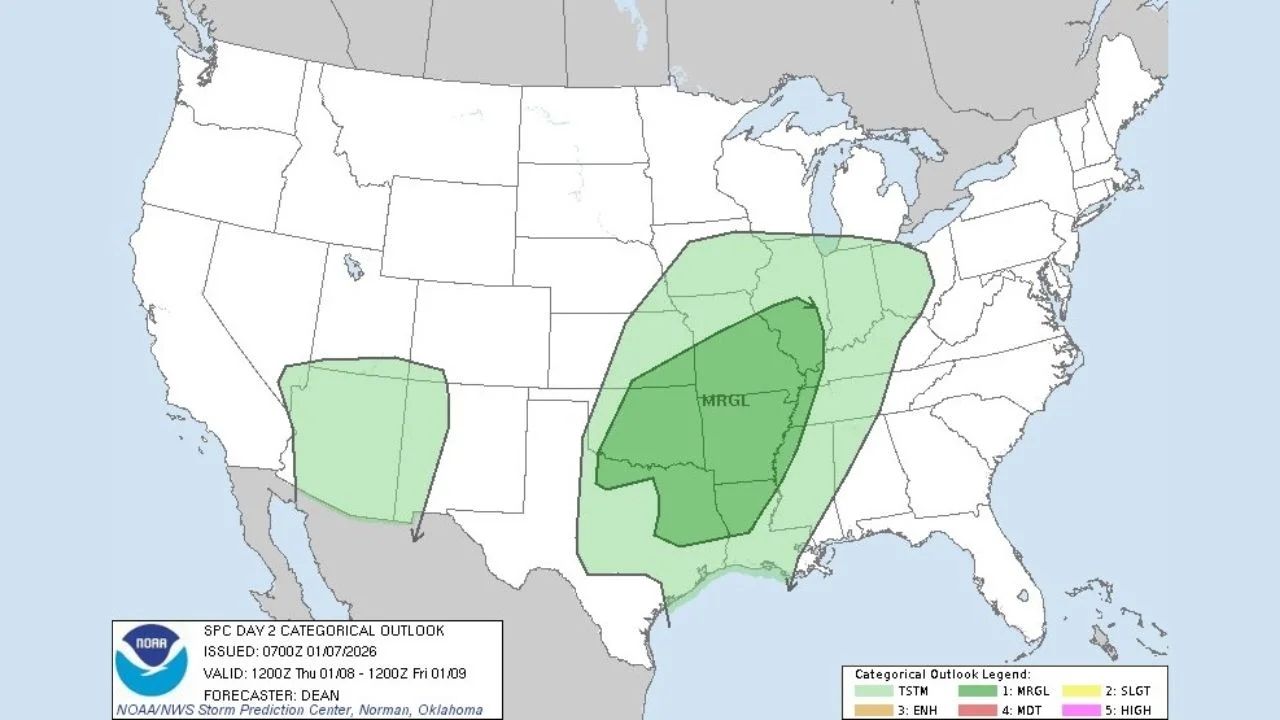
The Storm Prediction Center (SPC) has issued a Day 2 Marginal Risk (Level 1 out of 5) for severe weather throughout a large area of the southern Plains, the ArkLaTex region, and the lower to mid Mississippi Valley, indicating the possibility of isolated strong to severe storms from Thursday to early Friday.
The forecast shows a developing storm system moving eastward, combining with warm, moist air coming north from the Gulf of Mexico. While widespread severe weather is not expected at this time, forecasters warn that a few storms may produce destructive wind gusts, small hail, or a brief tornado, especially as storms get more structured.
Primary Risk Zone Spans Southern Plains Into the Mississippi Valley
According to the SPC outlook, the core Marginal Risk area extends from north and central Texas to Oklahoma, Arkansas, Louisiana, Mississippi, western Tennessee, and parts of Missouri and Kentucky.
Cities and locations that may see stronger storms include:
- North and East Texas
- Central and eastern Oklahoma
- Arkansas and northern Louisiana
- Mississippi Valley communities
- Western Tennessee and nearby areas
A distinct, smaller marginal risk area is also displayed across areas of the Southwest, but the severity of the threat looks to be lower.
What’s Driving the Severe Weather Potential
Meteorologists identify a number of elements that contribute to Thursday’s risk:
- A strengthening upper-level disturbance moving out of the Plains
- Increasing low-level moisture from the Gulf of Mexico
- Modest atmospheric instability developing during the afternoon and evening
While wind shear and instability are predicted to remain relatively low, the atmosphere may nevertheless support isolated severe storms, particularly around peak heating or along moving boundaries.
Main Hazards to Watch
At the present moment, the SPC indicates that the primary dangers are:
- Isolated damaging wind gusts
- Small hail
- A very low, but non-zero, tornado risk
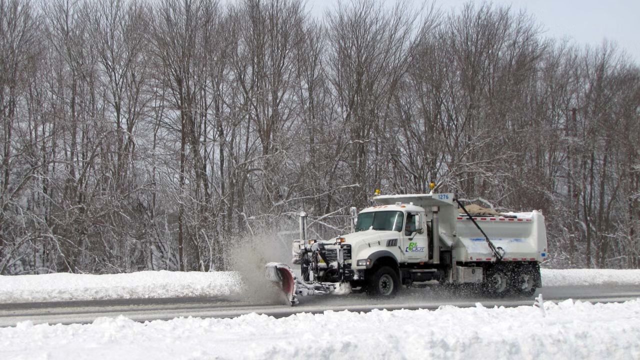
Severe coverage is forecast to be scattered and localized, but even marginal risk days can bring significant weather, especially for outdoor activities, travel, or evening events.
Timing and Next Updates
Storms are likely to:
- Develop Thursday afternoon across the southern Plains
- Spread eastward into the lower Mississippi Valley by Thursday night
- Gradually weaken or shift eastward by early Friday
Forecasters warn that future outlooks may change the danger area depending on how the atmosphere evolves. Any rise in instability or storm organization may cause worries in subsequent updates.


Leave a Reply