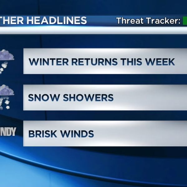
Maryland awakens to damp streets and low clouds, but a harsher shift is underway. Light flakes and pellets of sleet may begin to hit windshields by Friday afternoon, indicating a developing Winter Weather risk for the Baltimore area.
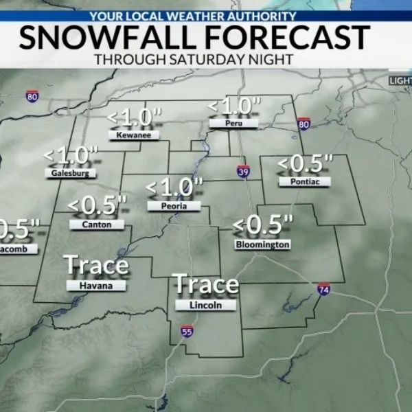
The National Weather Service predicts sleet on Friday, potentially mixed with snow, as colder air stays near the surface. Temperatures are hovering around 33 degrees, a tiny margin that favors slippery places. Even while accumulations appear to be little (usually less than a half inch), they can have a significant impact.
Conditions may deteriorate in the afternoon and evening, particularly on bridges and elevated ramps. Drivers on I-95, I-83, I-695, and Route 295 may expect poor traction during sleet storms. Allow additional time and slow down, especially after dark.
Friday night marks a shift. Sleet may mix with rain before becoming primarily rain as temperatures remain in the low 30s and rise. Patchy drizzle continues into Saturday morning. While the possibility of icing decreases, wet pavement is still probable throughout the day, with highs near 41 degrees.
Saturday night cools again, but the precipitation remains modest. Sundays tend to be wetter. Rain chances rise to 40-70 percent, with highs returning to the upper 40s. Visibility may dip at times, adding friction to the return journey.
Rain is expected to continue through Monday before easing off. Colder air arrives late, increasing the likelihood of refreeze where moisture remains overnight.
Meteorologists continue to closely monitor the timing. Conditions can vary quickly with little temperature changes. If you’re going on Friday, be prepared for slippery spots and periodic low visibility. In the event of precipitation, keep your headlights on, allow for longer stopping distances, and monitor updates throughout the evening.








Leave a Reply