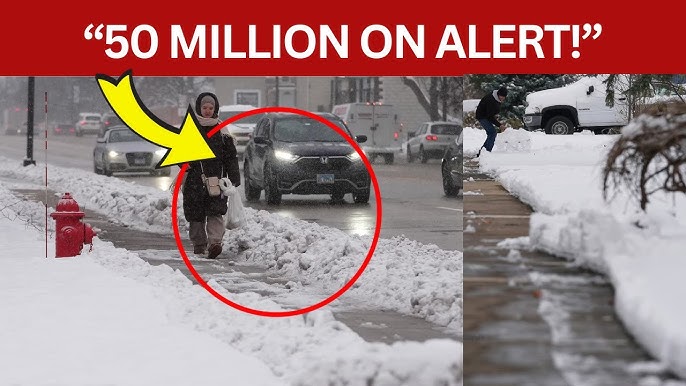
Kentucky to Maine – A winter storm delivered the first significant round of snow and ice to parts of the Midwest and South on Monday, and by Tuesday, the same system pushed ice into portions of Appalachia while dropping heavy snow across the inland Northeast.
On Monday, the Kansas City area picked up 3 to 5 inches of snow, while Louisville measured about 3 inches. St. Louis, Missouri, and Indianapolis both saw roughly 2 to 4 inches.
In Indianapolis, police reported more than 150 crashes since snow began on Sunday. “Please drive carefully,” police urged on social media.
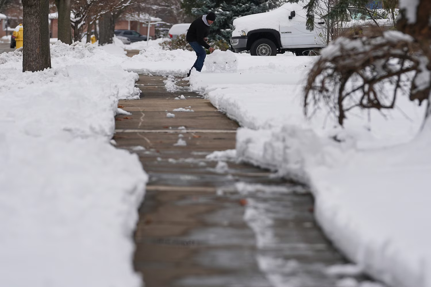
A person cleans snow in Glenview, Ill., Dec. 1, 2025
A thin layer of ice caused dangerous road conditions in areas such as Oklahoma and Arkansas on Monday, and by Tuesday, that icy threat will extend to cities like Boone, North Carolina, and Roanoke, Virginia.
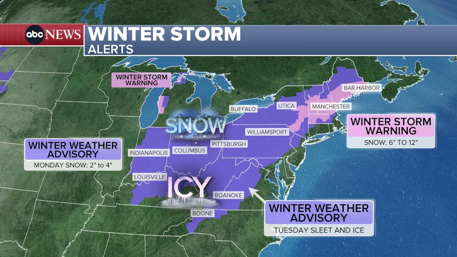
On Tuesday, Ohio, West Virginia, Pennsylvania, and western New York could receive 2 to 4 inches of snow.
Winter weather advisories are in effect in northern Pennsylvania and central New York, where 4 to 6 inches of snow is possible.
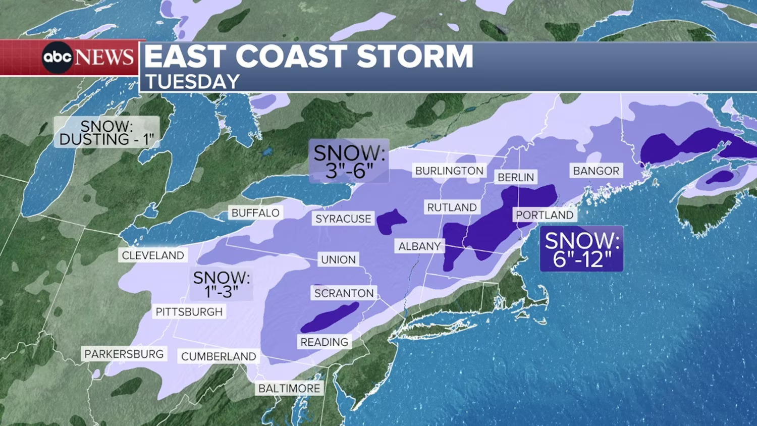
East Coast Storm – Tuesday Map
New Jersey Gov. Phil Murphy issued a state of emergency for several counties.
“With snow and rain in the forecast, we urge all New Jerseyans to be cautious of icy roads and walkways,” he cautioned on social media on Tuesday.
According to Philadelphia ABC station WPVI, many school districts in eastern Pennsylvania are closed for the day.
Cities along the East Coast will be warmer and will likely see only rain, though a brief morning wintry mix around Washington, D.C., could still create travel issues.
A winter storm warning is in effect from northeast Pennsylvania to central Maine, where more than 6 inches of snow is expected. Some locations could even receive 9 to 12 inches.
By Tuesday night, the rain will be ending in New York City but ongoing in Boston, while snow will still falling from Albany, New York, through Maine.


Leave a Reply