A busy stretch of winter weather will continue through the first weekend of 2026, with distinct storms bringing multiple chances for snow in the coming days for much of the Northeast.
According to AccuWeather and the National Weather Service, a succession of fast-moving systems known as Alberta clippers will rush over the region on Saturday, Jan. 3, bringing numerous rounds of light to moderate snow into early next week.
While no single storm is projected to be a blockbuster, the combined effect could result in slick roadways, chaotic commutes, and frequent travel disruptions.
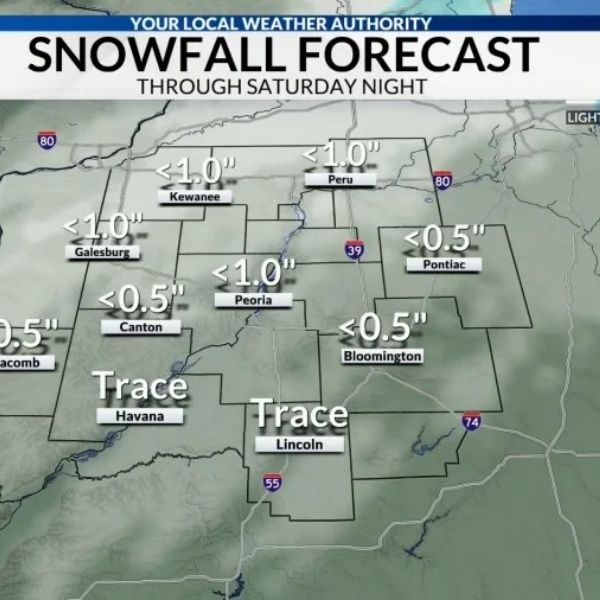
Snow is forecast to fall from the Great Lakes into inland New York, northern Pennsylvania, northern New Jersey, and much of New England beginning Saturday night.
The first batch of snow is forecast to fall from the Great Lakes to parts of New York, northern Pennsylvania, northern New Jersey, and New England on Saturday and Saturday night, January 3.
According to AccuWeather, most regions should receive a general coating of about 2 inches, with locally higher amounts likely downwind of the Great Lakes owing to lake-effect amplification.
Another clipper is expected to arrive Sunday afternoon, Jan. 4, through Sunday night, followed by another system from Sunday night into Monday, Jan. 5.
Each wave may bring more snow, making roads treacherous and visibility limited at times, particularly during the midnight and early morning hours.
“Some towns across the Great Lakes and Northeast could see several rounds of snow over the weekend and into early next week,” AccuWeather Director of Forecast Operations Carl Erickson stated. “A quick coating of snow can leave streets and sidewalks slippery.”
As slightly warmer air moves in late Sunday into Monday, snow is predicted to fall across much of inland New York, northern New Jersey, and Pennsylvania, as well as New England, with freezing rain farther south. Even a faint glazing can increase the danger of an accident and cause traffic delays on major travel routes.
As slightly warmer air moves in late Sunday, Jan. 4 into Monday, Jan. 5, snow is predicted across much of New York, northern New Jersey, and Pennsylvania, as well as New England, with freezing rain further south.
“As snow melts during the day and temperatures drop at night, refreezing will become a concern,” Mr. Erickson added. “Wet pavement can quickly become slippery after sunset and in the early morning hours. Watch for slick patches on walkways, parking lots, and untreated surfaces. Some locations may require a large amount of salt to keep up with the periodic melting and refreezing next week.
Erickson predicts that the current cold air wave will dissipate next week.
“The jet stream is expected to lift north into Canada, allowing warmer air from the Pacific to spread eastward,” according to him.







Leave a Reply