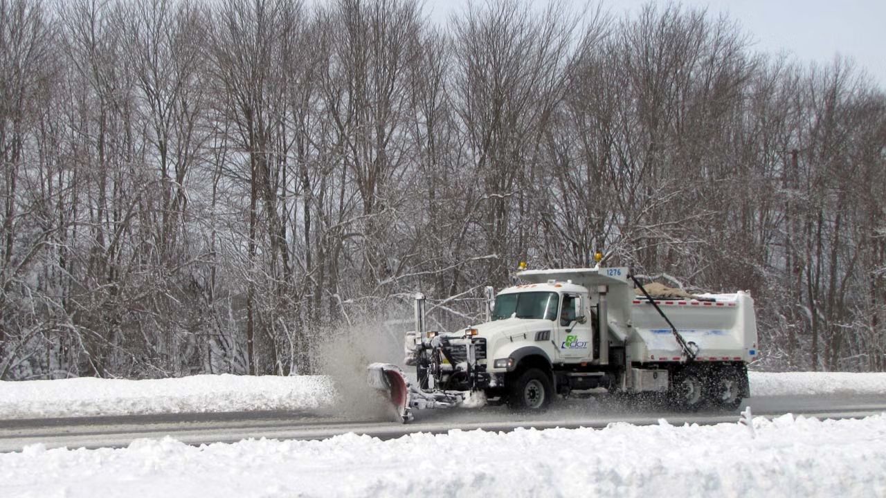
The Northeastern U.S. has been one of the most active regions in the country this winter in terms of ice and snowfall, with lots piling up around the Great Lakes and into New England. A warmer system is predicted to move across the Northeast by the end of the week, followed by a colder weekend system that will bring back ice and snow.
The first low-pressure system will bring near-record warmth, with largely rain falling on Friday. By Saturday, colder air will return to the I-90 corridor, resulting in a mix of ice and sleet at higher elevations and rain at lower elevations. Heading into Sunday, considerably cooler air forms in Northwesterly flow, allowing for light snowfall, though it appears to mostly affect locations closer to the Great Lakes rather than the Interstate 95 corridor. There is still plenty of time for this forecast to alter, so check back in!
Some areas may experience freezing rain and sleet through Saturday, with northern New York and New England coping with treacherous conditions and ice accumulations. This forecast will alter significantly, so expect an update before the end of the week!
Snow will be largely light, with pockets of significant rainfall (1-2″ on the upper end). Although no flash flooding is forecast, there may be some nuisance flooding (ponding on streets).
The first two waves of low pressure will bring relatively high temperatures before the cold front comes on Sunday and Monday.


Leave a Reply