
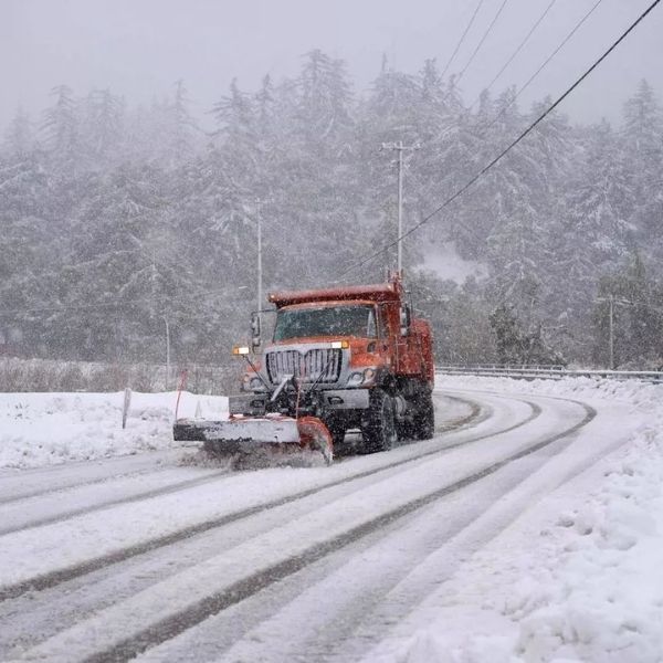
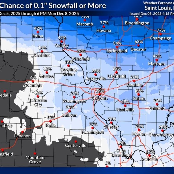
Chicago, IL – A powerful early-season snowstorm has dumped over 15 inches of snow across northern Illinois in just nine days, equaling or surpassing the total snowfall from the entire 2024–2025 winter season.
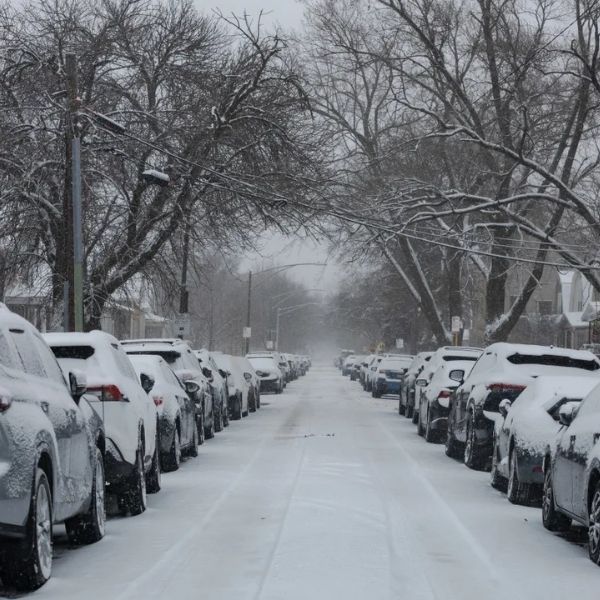
The National Weather Service reports that both Chicago and Rockford have recorded 17.1 inches of snow through Saturday, with Chicago seeing 15.4 inches and Rockford 15.9 inches since late November. This marks the fastest start to winter in decades — the quickest for Chicago since 1978 and a record pace for Rockford dating back to 1905.
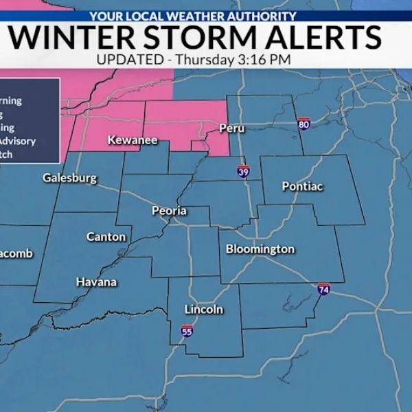
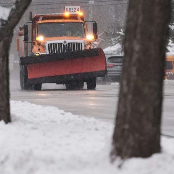
The heavy, consistent snowfall has created slick roads, delayed flights at O’Hare, and kept plow crews working overtime to keep highways and local streets clear. IDOT is urging drivers to avoid non-essential travel during active snow hours and to give snow removal crews plenty of space.
Travel across northern Illinois remains challenging, with secondary roads still slick and sidewalks icy. Drivers are advised to use caution and allow extra travel time, especially in suburban and rural areas.
Cold temperatures in the 20s and low 30s are limiting snow melt, and additional snow is expected Monday, with the active pattern likely to continue through mid-December.
Five-Day Forecast for Chicago:
Sunday: Mostly cloudy, high 36°F, icy spots remain
Monday: Snow likely late, high 32°F, low 24°F
Tuesday: Snow showers, 1–2 inches possible, high 30°F
Wednesday: Breezy and colder, high 27°F, wind chills in the teens
Thursday: Partly sunny, high near 30°F, low 19°F
This article has been carefully fact-checked by our editorial team to ensure accuracy and eliminate any misleading information. We are committed to maintaining the highest standards of integrity in our content.


Leave a Reply