
A sharp move toward colder weather might bring snow back to the Chicago area this weekend, following a period of moderate temperatures and showers late in the workweek.
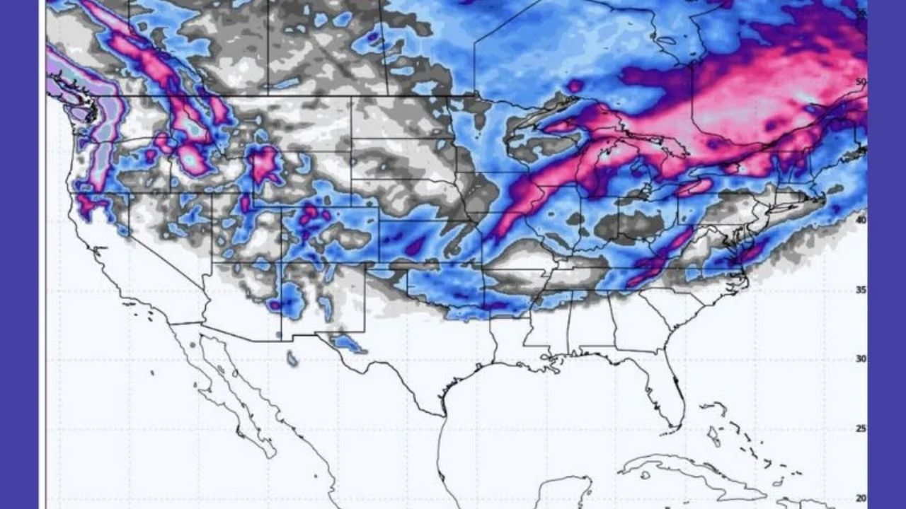
According to the National Weather Service in Chicago, rain is likely to fall across northern Illinois Thursday afternoon and evening, persisting into early Friday before breaking briefly. As another storm system approaches Saturday, colder air will enter the region, allowing rain to turn to snow from Saturday night until Sunday.
High temperatures will dip from the 40s and 50s late this week to the mid-30s on Saturday, then back into the high 20s to near 30 degrees on Sunday. The dip in temperature increases the likelihood of snow accumulation, particularly overnight and early Sunday morning. While specific precipitation levels are unknown, slick roads could form fast if snow combines with cooler pavement temperatures.
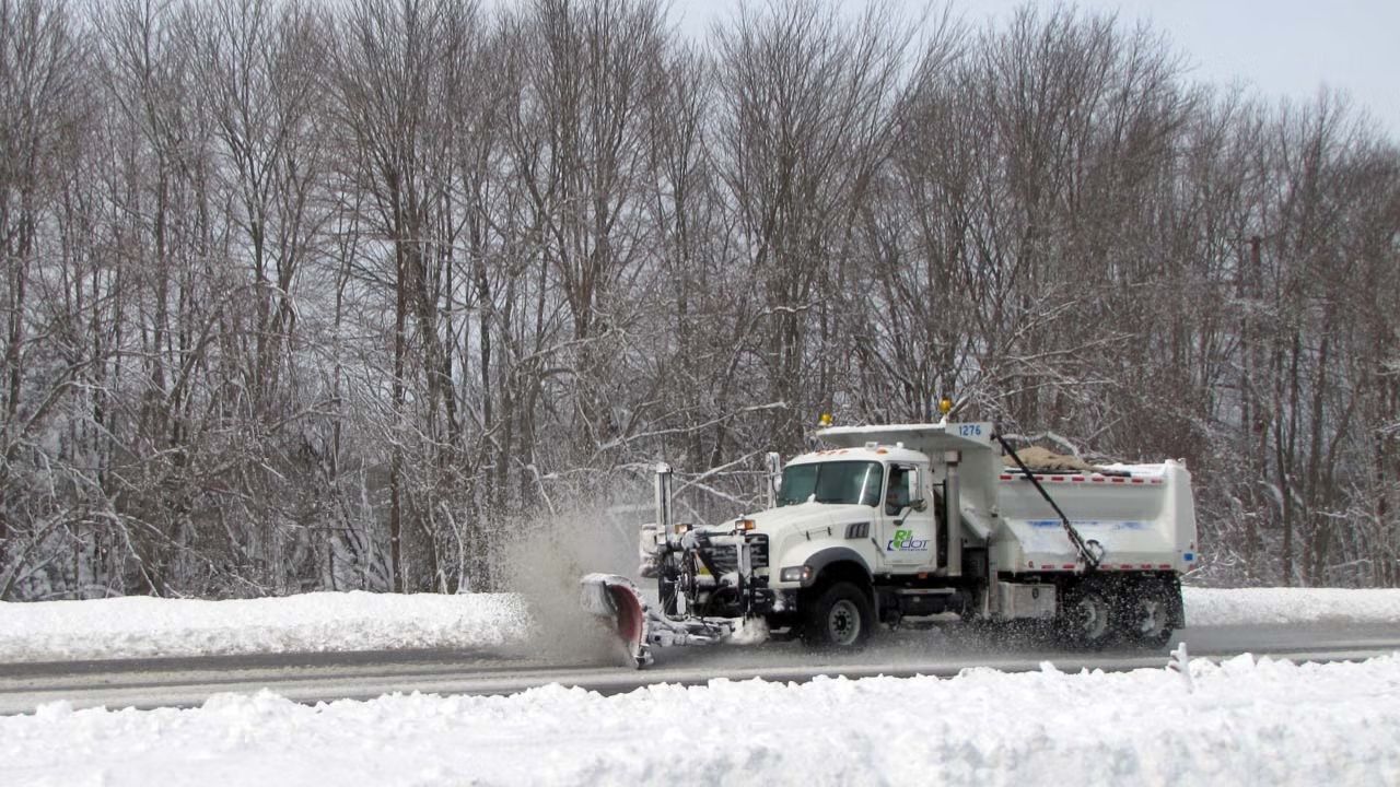
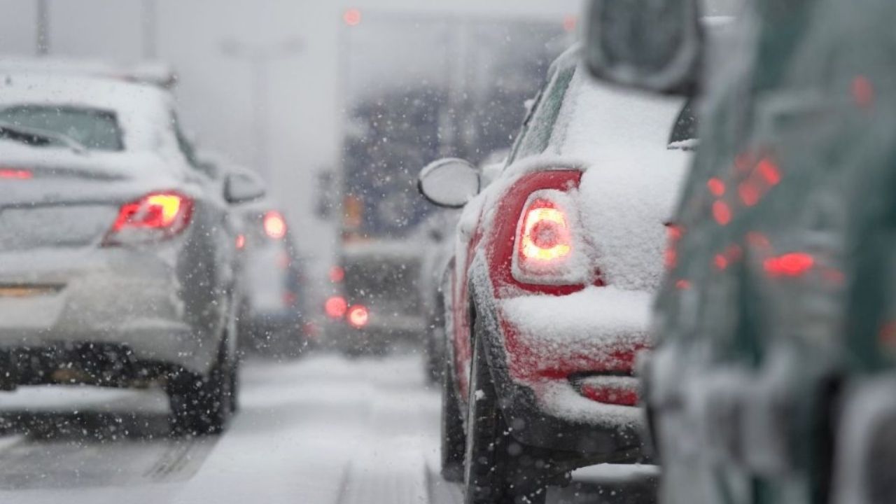
The transition might affect travel throughout the Chicago area, including Interstates 90, 94, 55, and 80, as well as suburban and rural roads. Snow may fall earlier in the north and west of the city than in northwest Indiana.
We remind residents to plan ahead for winter driving conditions, monitor future forecasts, and factor in additional travel time this weekend. Additional advisories may be issued as confidence in snow coverage and intensity rises ahead of Sunday.


Leave a Reply