Residents and visitors to Orlando are bracing for a windy weekend as a cold front approaches the area. A Wind Advisory has been issued by the National Weather Service in Melbourne, FL, with “20-30 mph with gusts up to 40 mph possible” along the Florida east coast. Breezy weather is also expected inland overnight as the pressure gradient tightens following a cold front that passed through Central Florida this afternoon and evening.
The National Weather Service also warns of quickly deteriorating boating conditions, with Volusia waters expected to be especially impacted as a Gale Warning is issued later today. The NWS Melbourne, FL, predicts that “seas will build rapidly to 13 ft in the Gulf Stream tonight into Monday, with 7-10 ft nearshore.” Boaters should remain cautious and be ready to swiftly change their plans to avoid being caught in these hazardous conditions.
Additionally, coastal areas are predicted to see heavy waves and minor beach erosion, with a heavy wave advisory in place. “Breaking waves of 7-9 ft are forecast, briefly up to 10 ft along the Volusia coast,” according to the NWS Melbourne, FL. Residents and tourists are advised to exercise caution around bodies of water due to the forecast “rough, pounding surf and numerous rip currents.”
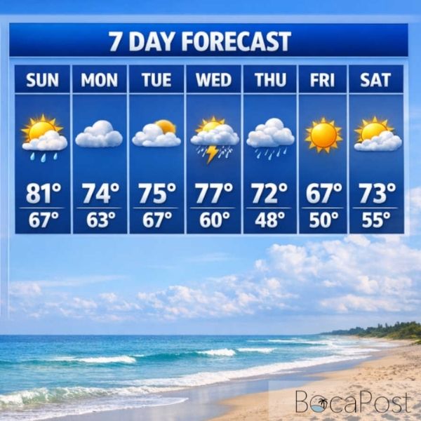
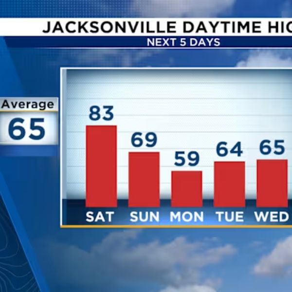
Temperatures, which are above normal today in the mid- to upper 70s, will drop significantly behind the front on Monday, remaining stable in the 60s. The weather pattern is expected to alter gradually during the week, with the high-pressure system weakening and allowing for a modest warming trend and a deviating wind flow that will turn southeast by mid-week. Despite the turbulent seas, conditions are forecast to improve, with seas dropping below 7 ft in the Gulf Stream and nearshore waves reaching 3 ft by Wednesday and Thursday.
The aviation outlook, particularly for pilots and passengers, is influenced by frontal changes, with “light/VRB winds this morning becoming NW 7-12 kts after 18Z” and further intensifying “to 13-18 kts with gusts 20-30 kts after 23Z,” according to the NWS Melbourne, FL’s TAF. Airlines and travelers should be prepared for potential disruptions and make plans to change flight itineraries in response to forecasted weather conditions.






Leave a Reply