Cold winter conditions continue throughout the state. Sunday, January 4, as high temperatures continue in the mid-20s to low 30s, with partly to mostly cloudy skies, according to the most recent forecast data. Any residual overnight snow showers, primarily in eastern Pennsylvania, are likely to dissipate by 7-8 a.m., however northwestern Pennsylvania may still see isolated flurries owing to extremely mild remaining lake effect activity.
Cold but Quiet Winter Conditions Dominate Sunday
Despite the low temperatures, experts predict no major traffic or weather difficulties for the majority of the state on Sunday. Conditions are likely to remain consistent throughout the day, indicating a typical cold winter setting rather than a major storm system. The chart shows high temperatures ranging from the low 20s in northern and western Pennsylvania to the low to mid 30s in central and southeastern locations such as Harrisburg, York, Reading, and Philadelphia.
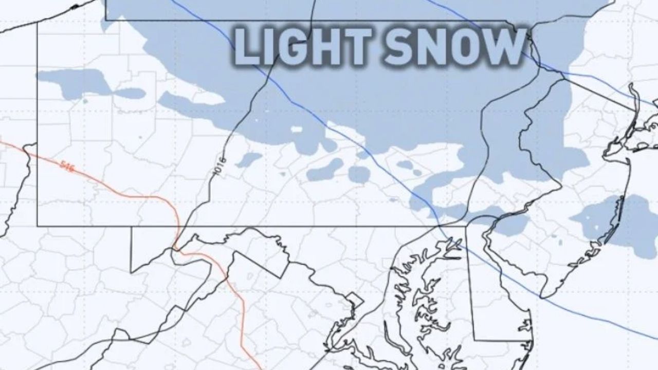
Next Weather System Brings Light Snow Monday
The next weak weather system, predicted to come in Monday morning through the evening, will mostly affect Pennsylvania’s northern half.
Forecast advice predicts little snow, with most areas seeing a dusting to one inch at most. Because lake enhancement is unlikely, meteorologists say snow totals will be low, so the impact should be mild.
Brief Ice Risk Followed by Milder Pattern Midweek
After Monday’s system moves on, there is a modest danger of minor icing Tuesday evening, primarily in far northern Pennsylvania. Temperatures are forecast to increase from Wednesday to Saturday, bringing a temporary respite from the continuous cold.


Leave a Reply