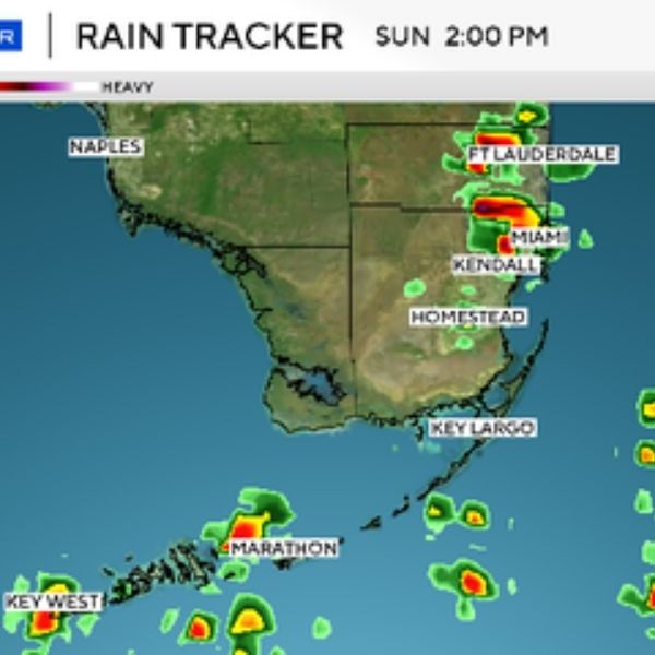
The NEXT Weather Team is tracking a rainy afternoon across Southeast Florida as temperatures climb through the day.
Scattered storms are expected to develop across Broward and Miami-Dade Counties, with the highest rain chances beginning early in the afternoon and continuing into the evening.
A frontal boundary moving south on Monday will help dry out the atmosphere for the rest of the week. Behind it, arctic air will bring a noticeable cool down to start Tuesday and Wednesday.
Morning lows on Tuesday will dip into the mid-40s and low 50s, before daytime highs rebound into the mid-70s.
The cool spell will be brief, with warmer temperatures returning by the end of the week.
This article has been carefully fact-checked by our editorial team to ensure accuracy and eliminate any misleading information. We are committed to maintaining the highest standards of integrity in our content.


Leave a Reply