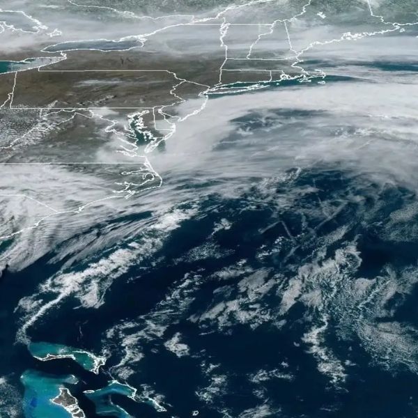
FLORIDA — Parts of the Gulf Coast and coastal California are under a marginal (Level 1) severe weather risk as a new storm pattern develops at the start of 2026. While widespread severe storms aren’t expected, conditions may trigger isolated thunderstorms capable of gusty winds, brief heavy rain, and localized impacts.
Areas at Risk:
-
Gulf Coast: Eastern Texas, Louisiana, Mississippi, Alabama, much of Florida
-
California: Coastal regions along the Pacific
Gulf Coast Outlook:
-
Storms: Scattered, isolated thunderstorms
-
Drivers/Residents: Could see localized flooding on roads, isolated strong wind gusts, and brief travel disruptions
-
Cause: Warm, humid surface air interacting with upper-level energy
California Outlook:
-
Storms: Coastal showers with embedded thunderstorms
-
Potential Impacts: Small hail, short heavy rain bursts, gusty onshore winds, especially in urban areas with poor drainage
-
Cause: Passing Pacific disturbance
Timing & Confidence:
-
Strongest storms expected during peak heating and evening hours
-
Confidence is moderate, as marginal risk events can shift quickly with small atmospheric changes
-
Most locations in the risk zone likely won’t see severe weather, but isolated issues are possible
What to Do:
-
Monitor local forecasts and weather alerts
-
Prepare for brief heavy rain, gusty winds, and localized disruptions
-
Stay aware of changing conditions if you live in coastal or near-coastal areas
Forecasters will continue to refine the outlook as more detailed data becomes available. For now, impacts are expected to remain limited and spotty.
This article has been carefully fact-checked by our editorial team to ensure accuracy and eliminate any misleading information. We are committed to maintaining the highest standards of integrity in our content.


Leave a Reply