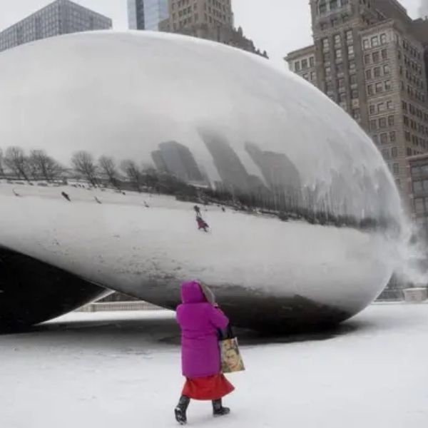
A powerful winter storm is set to blanket much of Illinois, with the National Weather Service issuing a Winter Storm Watch from late Friday night through late Saturday night. Forecasters warn that many locations could see 5 to 6+ inches of snow, and some southern and west-central counties may reach up to 8 inches.
The watch covers a wide portion of the state—central, east central, north central, northeast, southeast, and west central Illinois. Cities in the impact zone include Peoria, Springfield, Champaign, Urbana, Decatur, Bloomington, Normal, Effingham, Shelbyville, Galesburg, Mattoon, Charleston, Lincoln, Havana, Taylorville, Jacksonville, Lacon, and Beardstown. Northern and northeastern areas including Rockford, Joliet, Chicago, and the surrounding suburbs may also receive significant snowfall.
Road conditions are expected to deteriorate quickly, especially on bridges and overpasses, which tend to freeze first. Travel could become dangerous, and officials recommend postponing trips if possible. Those who must drive should allow extra travel time, keep greater distance between vehicles, and be ready for sudden reductions in visibility. Drivers are also urged to make sure their vehicles are fully winter-ready.
Snowfall may turn moderate to heavy at times, with wind gusts up to 25 mph in portions of northern and western Illinois. These stronger winds may create blowing snow, slick roads, and whiteout-like conditions.
Officials encourage residents to stay alert, monitor updated forecasts, and prepare for potentially hazardous travel throughout the Thanksgiving weekend.
This article has been carefully fact-checked by our editorial team to ensure accuracy and eliminate any misleading information. We are committed to maintaining the highest standards of integrity in our content.


Leave a Reply