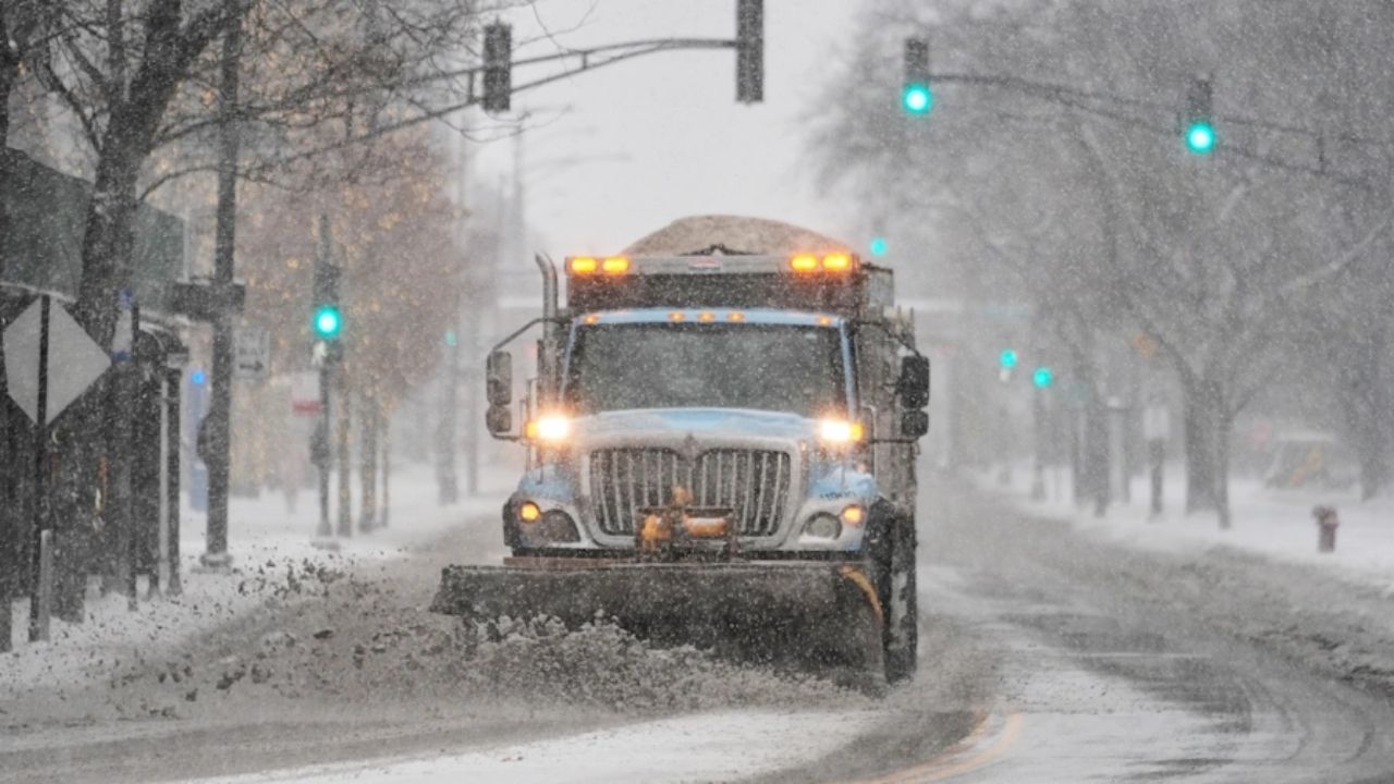
An active weather pattern remains locked in across the eastern United States, and forecasts are increasingly pointing to a more powerful winter storm late this week.
While it is still too early to predict exact snowfall totals, the setup for Friday and Saturday in the tri-state area is intriguing.
When could impacts begin?
According to current forecasts, precipitation might begin Friday evening and last through Saturday. Confidence in the timeframe is higher than earlier in the week, and this is the type of storm where precipitation is still uncertain.
Rain, snow, and ice are all possible, with the best odds of a blizzard remaining in northeastern New Jersey, Southeast New York, and the Connecticut River Valley.
High pressure to the North
The most significant factor in this forecast is a powerful area of high pressure forming over New England.
This high-pressure system will determine whether chilly air remains trapped across the eastern United States. If it maintains solid, it will support heavy, wet snow in areas of the region. If it weakens or shifts eastward too quickly, warmer air may rush in, transforming the snow into a mix or rain, particularly near the coast.
Simply said, this high-pressure system is critical. A cold high in the north is essential for winter storms in New York City. Without it, warm air floods all levels of the atmosphere, resulting in chilly rainfall.
Storm track could favor snow — with caveats
The general storm track now favors a larger snow event, akin to the mid-December storm that dumped 6 inches or more in many areas.
However, we’re still a few days out, and minor track changes will make a significant difference in who sees snow versus a wintry mix.
Models don’t agree yet
Forecast models remain divided:
- European Model (EURO): A warmer solution, tracking the primary low farther north. This would likely mean a wintry mix for NYC and areas south, with snow holding mainly to interior and higher elevations.
- GFS Model: A colder solution that supports a significant snowstorm in the NYC metro area.
What we know vs. what we’re watching
Higher confidence:
- Active storm window Friday night into Saturday
- Widespread precipitation across the region, featuring ice/snow/rain
Lower confidence (for now):
- Rain vs. snow line
- Snow amounts
- Duration of heavy snow potential








Leave a Reply