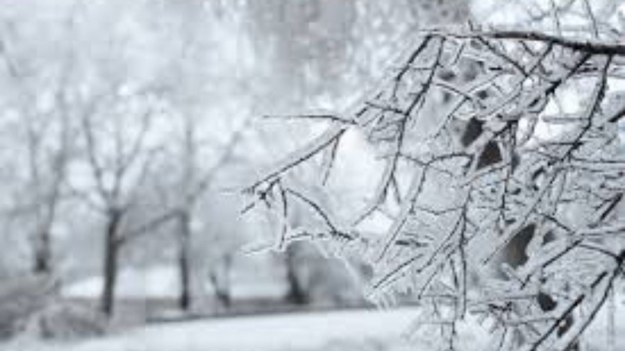
As holiday travel begins, central Pennsylvania drivers appear to be in for a wintry mix appropriate for the season.
A cold front passed through the state on Sunday, bringing gusty winds and frigid air, but weather on Monday night and Tuesday morning may cause some travel issues.
Here is a timeline of what to expect in the Harrisburg region, according to the National Weather Service (NWS):
- Sunday night: Clear, with a low of around 19 degrees and northwest wind of 5 to 9 mph after midnight.
- Monday: Cloudy with a high around 40 degrees. Winds will be calm, around 5 mph.
- Monday night: Snow is likely before 4 a.m., when it will turn into a mix of rain and snow showers. The low will be around 31 degrees, with a calm wind. Snow accumulation of less than half an inch is possible.
- Tuesday: Rain and snow showers in the morning before 7 a.m. It will be cloudy with a high near 44 degrees and a chance of less than half an inch of new snow accumulation.
- Tuesday night: Cloudy, with a low of around 35 miles per hour and winds of 6 to 9 mph.
- Wednesday: Sunny with a high near 46 degrees.
Travelers can monitor road conditions with 511PA.


Leave a Reply