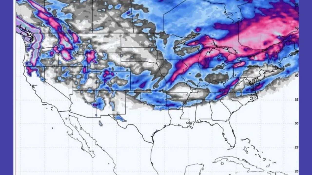
The National Weather Service (NWS) has issued widespread Winter Weather Advisories for Utah and the surrounding states as a powerful winter storm system approaches the Intermountain West.
Snowfall is forecast to increase from Wednesday evening to Thursday, hitting both steep terrain and valley floors, with totals ranging from 2 to more than 20 inches in some high-elevation places.
Key highlights of the storm include:
- Up to 20 inches of snow forecast for parts of the Bear River Range.
- 8 to 12 inches expected in the Central Utah Mountains.
- Widespread travel impacts anticipated, especially during Thursday morning commutes.
- Additional snowfall possible due to lake effect snow south and southeast of the Great Salt Lake.
“This system is widespread and dynamic,” said Mark D. Smith, meteorologist with the NWS Salt Lake City office. “Mountain passes and valley corridors alike will see accumulation, and we are strongly advising the public to prepare for dangerous travel conditions.”
Utah Braces for Mountain and Valley Snowfall
The Central and Southern Mountains of Utah, including Fish Lake, Joes Valley, and Brian Head, are expected to receive 8 to 12 inches of snow from Thursday morning to evening.
Lower elevations in Eastern Juab and Millard Counties, including Nephi and Fillmore, are forecast to receive 2 to 5 inches, while locations north of Nephi, such as Santaquin and Spanish Fork, could receive 1 to 3 inches.
Meanwhile, the weather will also affect the Wasatch Front and Cache Valley. According to the NWS, benches could receive up to 6 inches of rain, while the Wasatch Back, which includes Park City and Heber City, might receive 2 to 6 inches. Some lake-enhanced snowfall may result in extra accumulation Thursday night and Friday morning, especially southeast of the Great Salt Lake.
Mountain Passes and Highways Under Threat
Multiple Utah mountain ranges, including the Wasatch Mountains south of I-80 and the Western Uinta Mountains, are expected to receive 6 to 12 inches of snow, with upper Cottonwood Canyons like Alta and Brighton receiving up to 18 inches. These places are popular among winter sports lovers, but they provide major obstacles to travelers during storms of this magnitude.
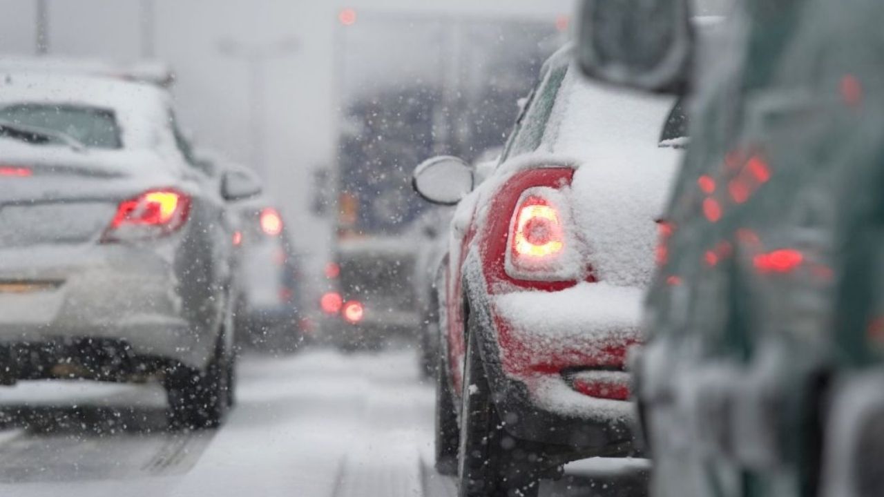
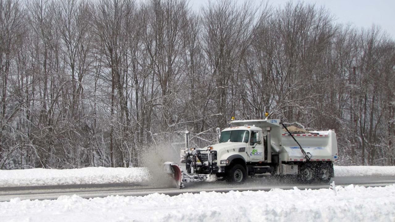
Drivers are advised to avoid unnecessary travel during the peak snowfall hours. The Utah Department of Transportation (UDOT) has launched its winter storm response, with plows and staff strategically deployed throughout affected corridors.
“We are expecting some of the heaviest bands to impact travel along I-15 and through mountain passes,” said UDOT spokesperson Karen Wilcox. “We anticipate slick roads and reduced visibility, especially on Thursday morning.”
Impact Extends Beyond Utah
The winter storm extends beyond Utah. Advisories cover Arizona, Colorado, Idaho, and Nevada, demonstrating the system’s broad scope.
In Arizona, the Mogollon Rim, Grand Canyon region, and Chuska Mountains are expected to receive 3 to 6 inches of snow, with some regions above 7500 feet receiving up to 12 inches. Wind gusts of up to 40 mph are also forecast, which will exacerbate the hazardous circumstances.
The National Weather Service in Flagstaff warned that “periods of moderate to heavy snowfall will create snow-covered roads and dangerous driving conditions,” especially over 6500 feet.
In Colorado, high ranges such as the San Juans, Elk Mountains, and Uncompahgre Plateau will receive 6 to 10 inches of snow or more, with precipitation expected to fall until early Friday. Strong wind gusts may exacerbate difficulties for high-elevation tourists.
Meanwhile, in Idaho, the Bear River and Caribou Ranges are predicted to receive 4 to 12 inches of new snow, with up to 8 inches at Emigration Pass. The NWS in Pocatello has maintained live advisories until early Thursday morning.
Snow is predicted to fall across Elko County and into Southern Lander and Eureka Counties, with valley accumulations ranging from 1 to 4 inches and gusts of up to 35 mph, particularly in Spring Creek, Lamoille, and Eureka.
“This is a long-term winter event with widespread consequences,” emphasized NWS Salt Lake City. “We strongly urge all residents and travelers to stay informed, avoid unnecessary travel, and be prepared for potentially rapid weather changes.”


Leave a Reply