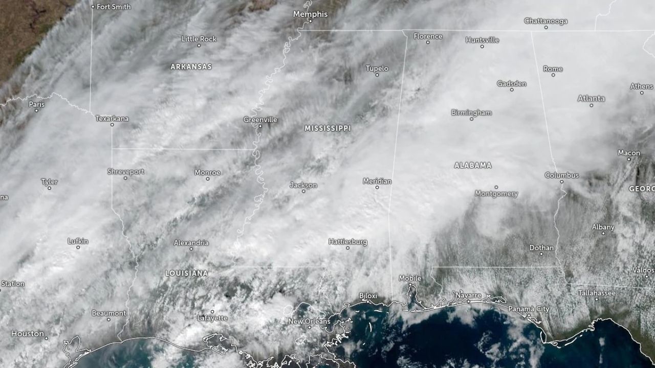
Radar confirmed several tornadoes across Mississippi early on January 9 as a strong cold front interacted with warm and moist Gulf air. The National Weather Service (NWS) reported rotating supercells throughout central and southern Mississippi, with tornado warnings issued for several counties throughout the morning.
The Storm Prediction Center (SPC) rated much of the state as a Level 2 out of 5, “Slight Risk,” for severe weather, stretching from Baton Rouge, Louisiana, to Tupelo, Mississippi. Embedded supercells within the squall line produced devastating straight-line winds of 110-115 km/h (68-70 mph), as well as localized hail and heavy rains.
Rainfall totals of 50-125 mm (2-5 inches) were expected, with isolated locations perhaps surpassing 150 mm (6 inches). Flash flood watches were in force for more than 600 kilometers (370 miles) throughout central and southern Mississippi, including Jackson, Hattiesburg, and Gulfport.
The NWS warned that heavy rainfall rates might temporarily surpass 75 mm (3 inches) per hour, causing fast surface runoff and urban floods.
According to meteorological data, the extreme weather was caused by a deep upper-level trough and a subtropical jet streak traveling at 150 km/h (90 mph) over the lower Mississippi Valley.
This dynamic arrangement produced both vertical shear and instability, facilitating tornadic formation. The front’s surface low-pressure system was moving northeast at a speed of about 45 km/h.
Although no injuries or substantial structural damage had been verified by midday, emergency management organizations warned residents to stay vigilant for shifting conditions as more storm cells were forecast throughout the afternoon and early January 10.
The SPC predicted that the severe weather danger will gradually migrate eastward into Alabama and western Georgia overnight, while heavy rain will remain in southern Mississippi and coastal Louisiana. Forecasts indicate that the front will leave the region late on January 10, followed by a period of milder, drier weather through January 11.


Leave a Reply