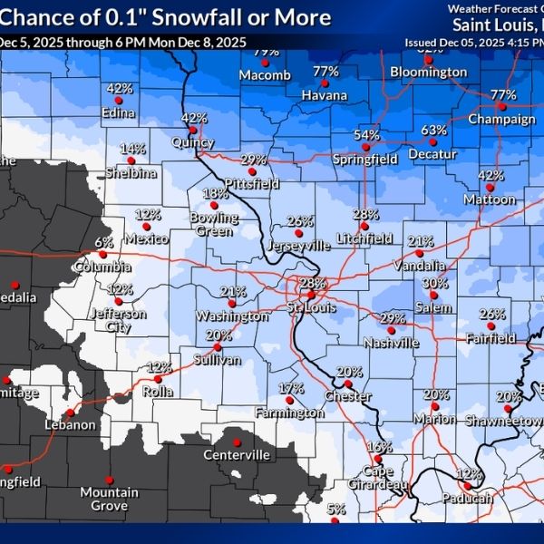
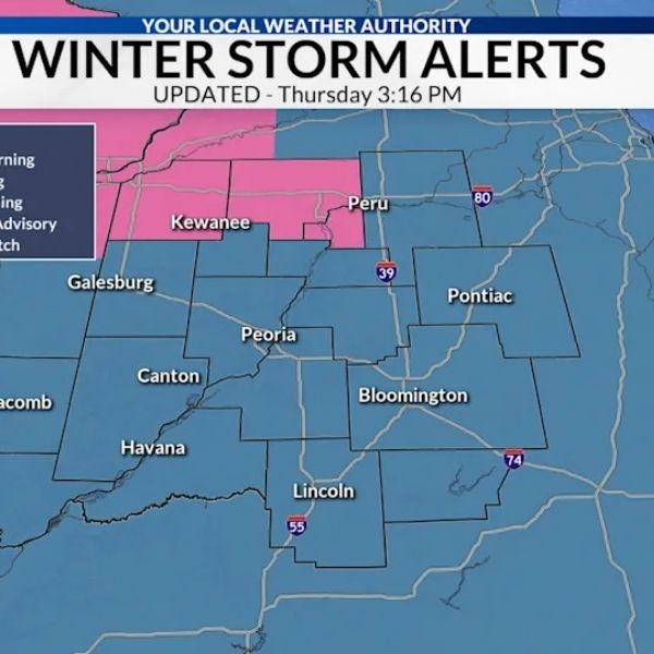
Residents in West-Central Illinois and the St. Louis area may see a trace of snow heading into Sunday.
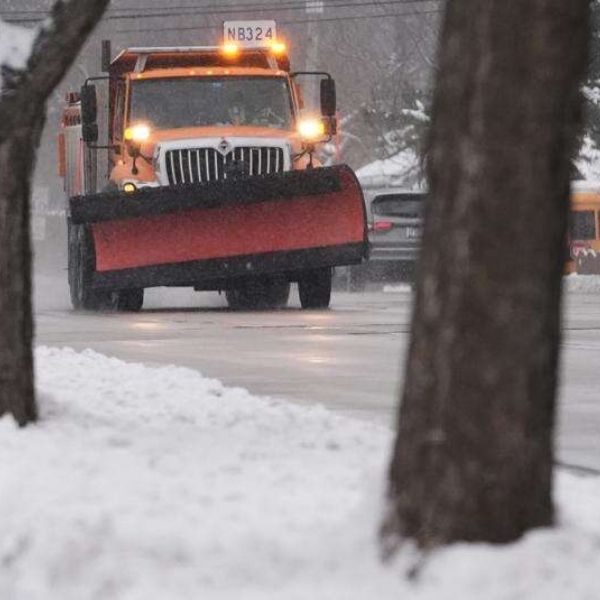
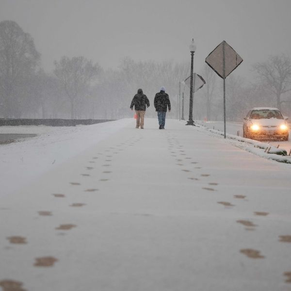
After winter temperatures settled in across the region, snow chances have been increasing. The first notable snowfall arrived a few days after Thanksgiving, and now another system could bring a smaller amount of snow this weekend.
“We remain likely to see a brief round of light rain and potentially some light accumulating snow overnight and early Sunday morning, driven largely by isentropic ascent,” the St. Louis National Weather Service said. “During this period, soundings generally support a mix of rain and wet snow, without much evidence to suggest other precipitation types like freezing rain and sleet, although some model guidance continues to depict an occasional smattering of such here and there.”
Current forecasts suggest higher chances of snow north of I-70 and higher chances of rain south of the highway. Any snow accumulation is expected to be minor, generally in the trace to one-inch range.
AccuWeather predicts a 78% chance of a coating to an inch of snow in Alton, while Edwardsville has a 64% chance of seeing little to no accumulation. Central Illinois, including Jacksonville, has a 57% chance of a light coating of snow.
Following this system, the region can expect relatively calm weather, though temperatures are likely to stay below average throughout the week. According to the St. Louis NWS, a broad longwave trough will remain nearly stationary across the eastern U.S., keeping temperatures capped for the next several days.
“Temperatures may moderate back to near seasonal averages Tuesday and Wednesday, followed by another surge of colder air behind Wednesday’s system through the end of the work week,” the NWS added.
This article has been carefully fact-checked by our editorial team to ensure accuracy and eliminate any misleading information. We are committed to maintaining the highest standards of integrity in our content.


Leave a Reply