Residents in the Tampa Bay area may want to keep light jackets available for the morning commute but have sunglasses ready for the drive home. For the rest of the week, a pattern of foggy mornings and sunny, warm finishes will prevail, pushing temperatures far above seasonal norms until a big cool-down arrives early next week.
Early risers experienced patchy fog today, but expect it to clear by late morning. Once the clouds clear, there will be lots of sunshine, with highs reaching 78 degrees. Winds will stay calm, shifting slightly from the west in the afternoon, providing a comfortable, albeit muggy, midweek break.
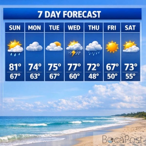
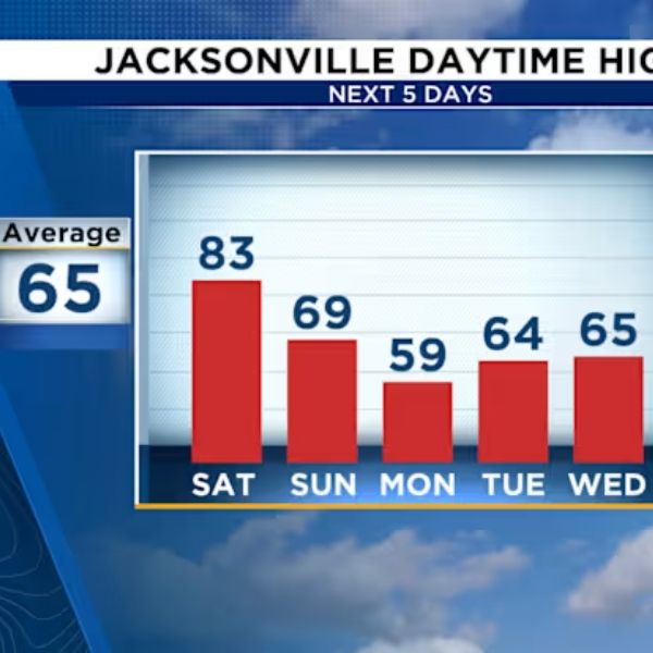
Beginning Thursday, the warming trend accelerates significantly. After another round of morning fog, temps are expected to reach 81 degrees. The region will experience a taste of “false spring” on Friday and Saturday, with highs reaching 83 degrees under largely sunny skies. It’s ideal beach weather, as long as you wait for the morning gray to lift.
Nights will be mild but foggy. Patchy fog is expected to develop late each evening, especially around 10 p.m. or 1 a.m., and remain until the morning commute. Overnight lows will remain in the upper 50s to low 60s through Saturday.
However, the warmth will not continue forever. A shift is scheduled for late Sunday. While the day will begin partly sunny with a high of 76, a front is expected to come through, reducing temperatures considerably. By Sunday night, lows will fall into the mid-45s, a sharp reminder that it is, in fact, January.
Monday will struggle to reach 66 degrees, and the cold air will persist into Tuesday, with largely cloudy skies and highs near 70.
- Best Beach Days: Friday and Saturday (Highs in the low 80s).
- Morning Commute Watch: heavy patchy fog likely Thursday and Friday mornings.
- The Big Chill: Sunday night into Monday morning (Lows near 45).


Leave a Reply