A warming trend is taking shape across Central Florida. Meteorologist T.J. Springer explains how warm conditions will get ahead of the next cold front and when rain chances are expected to return.
The Brief
Clouds thin overnight as northeast winds continue, with patchy fog possible early Wednesday. Lows fall into the low to mid-50s.
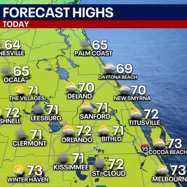
A warm front lifts north, bringing more clouds and warmer air. Highs reach the mid to upper 70s, with a slight chance of a coastal shower.
Highs approach 80 before a cold front brings scattered showers Thursday night, followed by cooler mornings this weekend.
ORLANDO, Fla. — Sunshine briefly broke through the clouds Tuesday as high pressure continued to build across the region. Drier air has been pushing back against persistent onshore flow.
Tuesday night forecast
What to expect:
Northeast winds will continue to bring a few sprinkles and extra cloud cover near the beaches, but skies are expected to gradually clear overnight. With lighter winds and clearing skies, patchy fog may develop into early Wednesday morning. Early commuters should use caution while traveling.
Temperatures will remain mild overnight, dipping into the lower to mid-50s across much of Central Florida.
Wednesday forecast
What to expect:
Cloud cover increases Wednesday as a warm front lifts into the area. Afternoon highs climb into the mid to upper 70s. Most locations stay dry, though a stray shower cannot be ruled out, with rain chances around 10%.
Any isolated showers are most likely along the east coast, where cloud cover will be thicker. Coastal areas may see limited sunshine, while inland spots catch more breaks in the clouds.
Warmer weather ahead
Looking ahead:
The warming trend continues beyond Wednesday as winds shift to the south-southeast. With high pressure building across the Southeast, highs rise into the upper 70s to near 80, while overnight lows climb into the upper 60s.
This warmer air arrives ahead of a cold front expected Thursday into Friday. Scattered showers become more likely, especially Thursday night, when rain chances increase from 30% during the day to around 50% overnight.
Behind the front, temperatures cool modestly. Saturday morning lows drop into the 40s and 50s, compared to the 60s expected Thursday and Friday mornings. Afternoon highs rebound to near seasonal averages, reaching the low to mid-70s.
Another cold front could approach early Christmas week. While it remains something to watch, rain chances currently appear low.
This article has been carefully fact-checked by our editorial team to ensure accuracy and eliminate any misleading information. We are committed to maintaining the highest standards of integrity in our content.


Leave a Reply