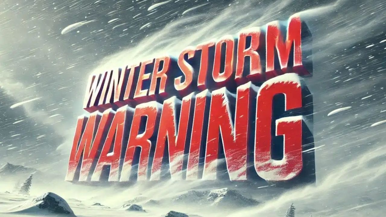
The National Weather Service in Seattle has issued a Winter Storm Warning for the Cascades of Whatcom and Skagit counties, including the Mount Baker area, as heavy snowfall intensifies throughout the region.
The warning is in place from 4 a.m. Sunday to 4 a.m. Monday, with total snow accumulations of 12 to 22 inches in higher elevations. Snowfall rates can be heavy at times, resulting in rapidly worsening conditions.
According to the National Weather Service, the storm will create difficult to potentially impossible travel conditions, particularly along mountain routes and access roads near Mount Baker. Whiteout conditions, substantial snow accumulation, and hazardous road surfaces are all likely throughout the warning timeframe.
Forecasters warn that travel could become extremely dangerous or impossible, and anybody planning a trip to the mountains should reconsider. Power outages may also occur as a result of heavy snowfall on trees and power wires.
Drivers who must travel are recommended to bring extra food, water, warm clothing, and a flashlight, as well as to be prepared for long delays or emergencies. Chain limitations or pass closures may be introduced with little notice.
This storm affects places throughout Whatcom and Skagit counties, notably higher elevations in the North Cascades, a popular winter recreation destination.
Residents and visitors should pay close attention to reports from the National Weather Service and the Washington State Department of Transportation as circumstances change throughout the day and night.


Leave a Reply